The Derryveaghs
Quartzite peaks and glacial valleys
Errigal, Muckish, Slieve Snaght and the Seven Sisters rise above deep bog, scattered lochs and the protected wilderness of Glenveagh National Park.
Region guide
“The traverse of this ridge, the ‘One Man’s Path’, is one of the most remarkable walks to be found in Ireland.”
— Robert Lloyd Praeger, Irish naturalist and devoted hillwalker, writing about Slieve League
Highest Mountain
Errigal — 751mHighest Blue Stack
Croaghgorm — 674mTable Mountain
Muckish — 666mAtlantic Cliff Mountain
Slieve League — 601mGlenveagh National Park
16,000 HectaresBluestack Way
65kmAbout the region
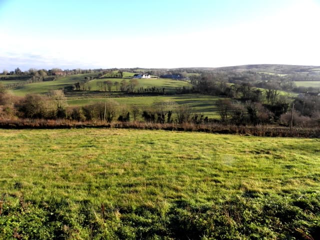
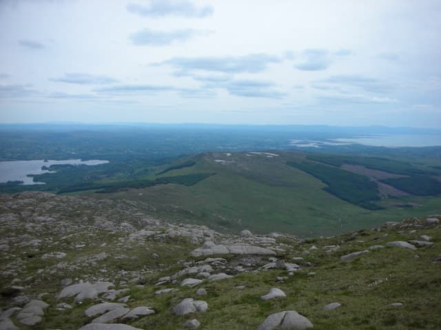
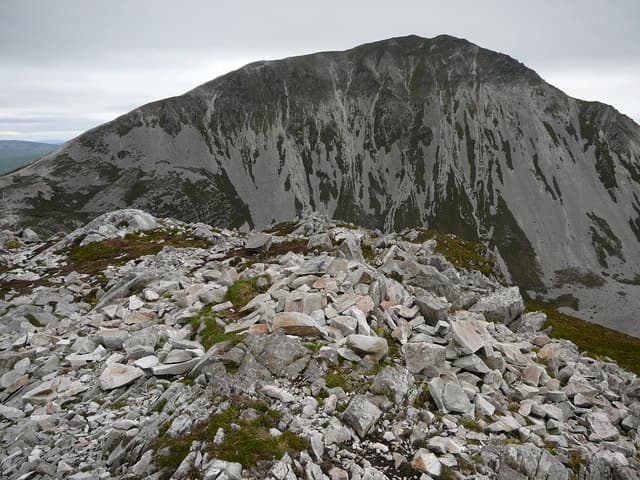
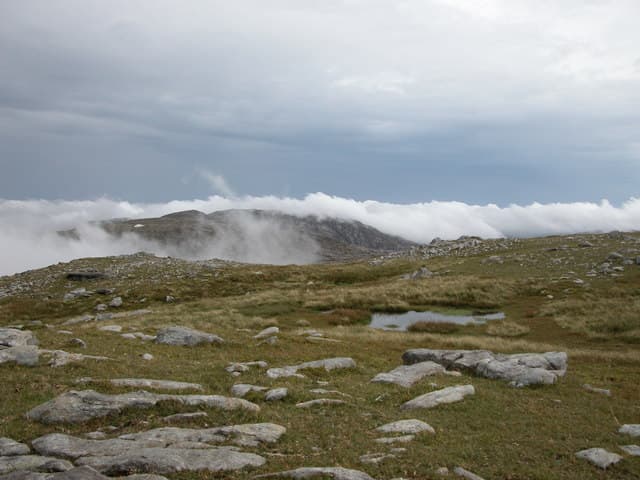
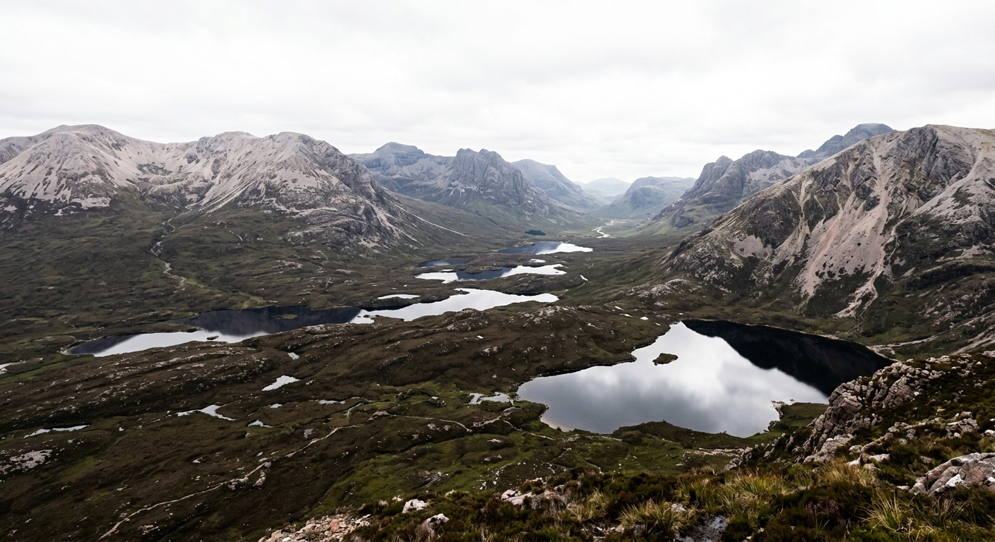
Donegal’s mountains rise in distinct, widely separated groups, giving the county a variety that rewards anyone willing to travel beyond Errigal. The Derryveaghs dominate the north, where pale quartzite ridges stand above dark peatland, glacial valleys and scattered lochs. Errigal is the unmistakable centrepiece, but neighbouring Mackoght, Dooish and the long Seven Sisters ridge offer considerably more ground to explore.
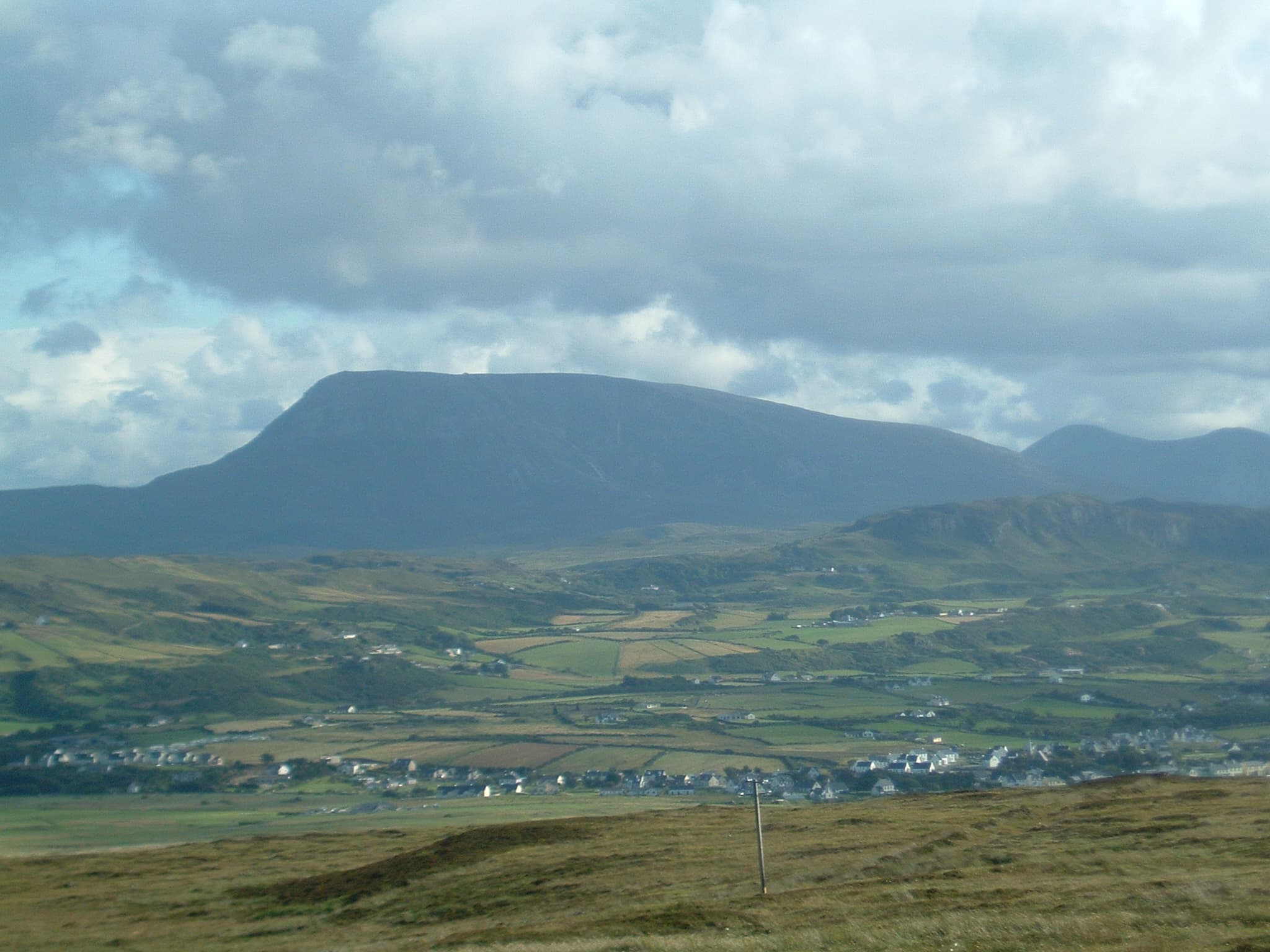
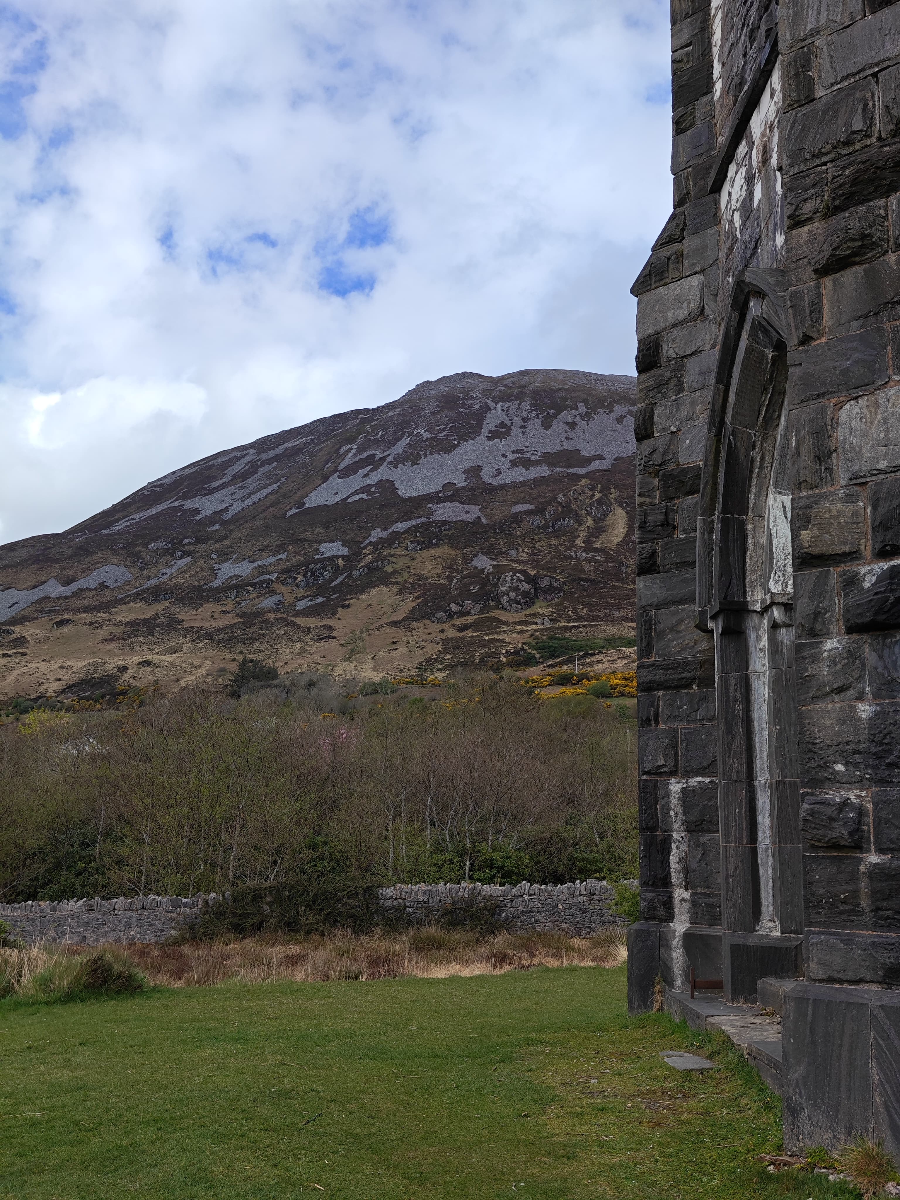
Nearby Muckish is a completely different mountain: broad, flat-topped and scarred by old quartzite workings. Farther west, Slieve Snaght overlooks some of Donegal’s wildest country, while Glenveagh National Park protects a vast landscape of mountains, blanket bog, woodland and the deep waters of Lough Veagh.
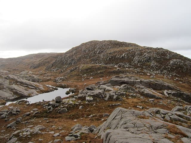
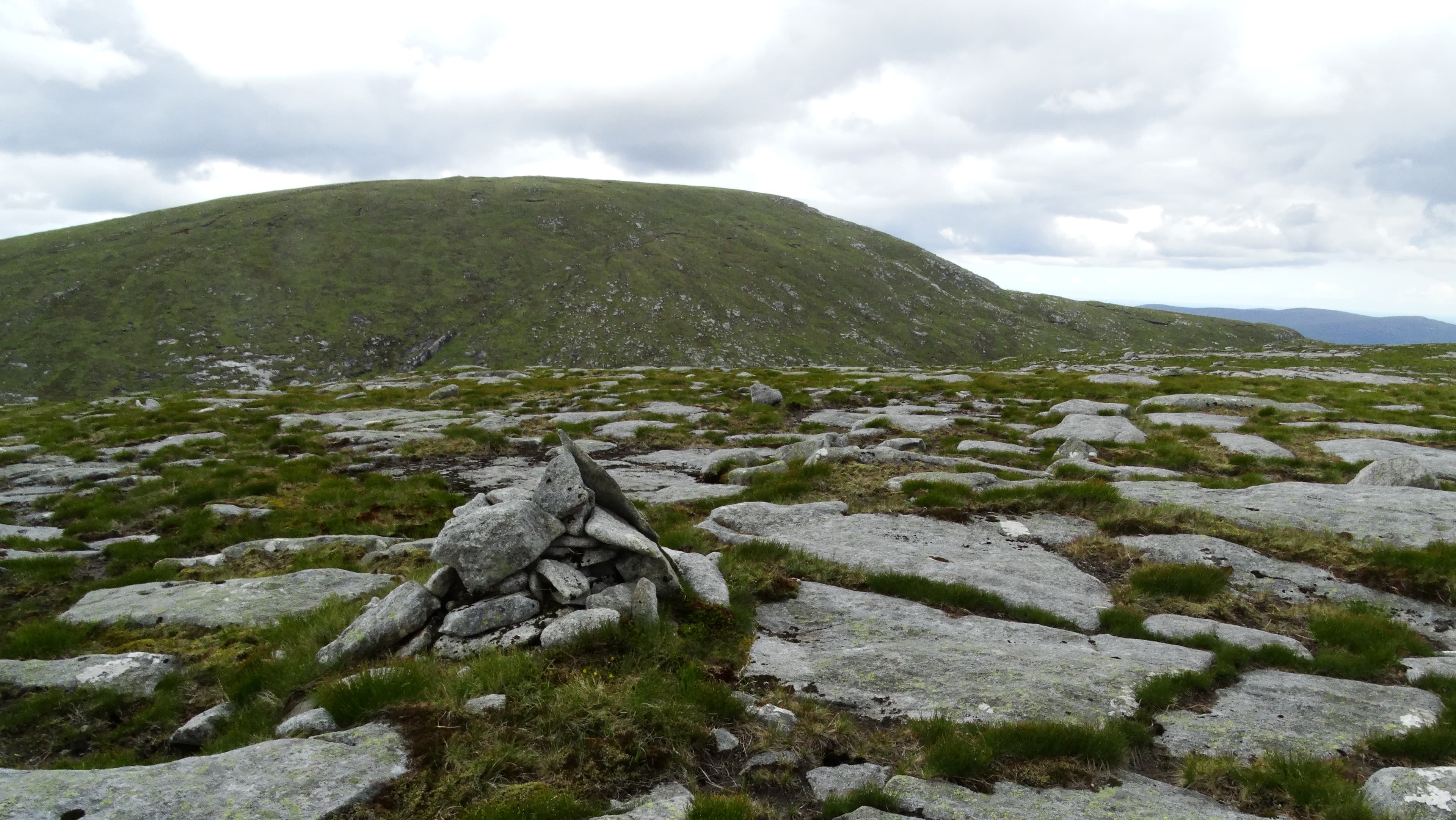
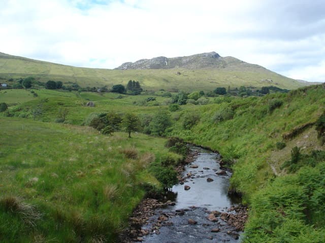
South of Donegal Town, the Blue Stacks provide quieter and more demanding walking. Croaghgorm, Lavagh More and Ardnageer are rounded rather than dramatic, but rough peat, few paths and complex ground make navigation important. The Bluestack Way crosses the lower hills between Donegal Town and Ardara.
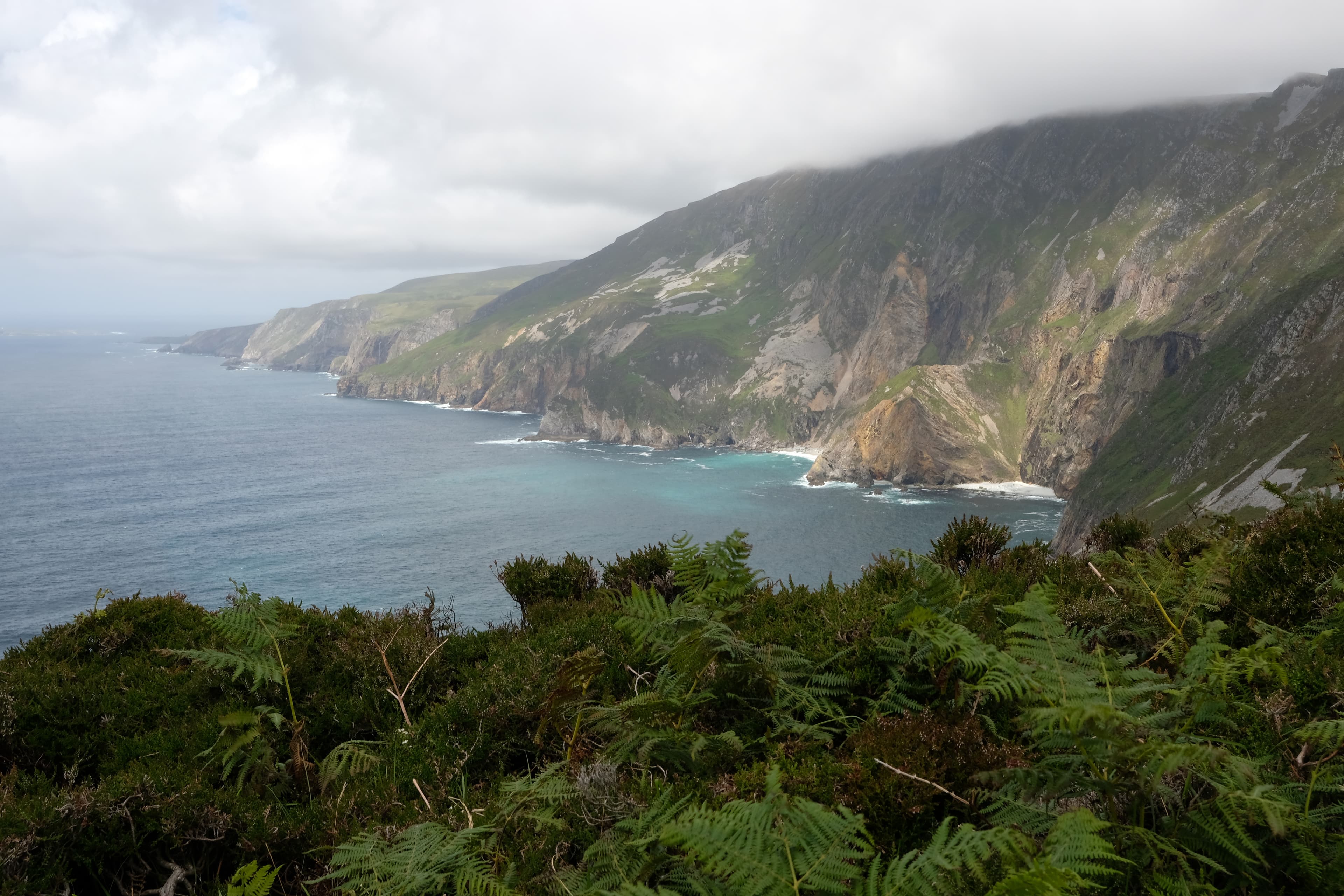
On the Atlantic coast, Slieve League falls directly towards the sea. Its Pilgrim’s Path leads towards the exposed One Man’s Pass, where a calm forecast and a steady head are both rather useful.
Regional signature
The Derryveaghs
The Blue Stacks
The Atlantic Heights
Longer days return, but blanket bog remains thoroughly wet after winter. Late snow or ice can occasionally linger on Errigal and Slieve Snaght.
Best for: Clear Derryveagh ridges and quieter summitsExtended daylight suits remote routes with few paths or easy escape options. Errigal becomes busy, while the Blue Stacks remain strikingly quiet.
Best for: Blue Stack crossings and longer ridge daysCooler air can bring excellent visibility across Donegal’s coast and islands. Days shorten quickly, particularly on remote western routes.
Best for: Atlantic views and rich moorland colourSnow is possible on the higher mountains, but strong winds, saturated ground and poor visibility are often the greater challenges. Coastal ridges demand particular care.
Best for: Experienced walkers and lower-level trailsTrailTrack Favourites
Ten hills chosen by TrailTrack
Continue exploring
From pale quartzite peaks to empty bogland and mountains falling into the Atlantic, Donegal rewards walkers who leave the obvious path behind.