The Campsies
Volcanic escarpment
A line of cliffs, waterfalls and rounded tops north of Glasgow, with steep approaches from Strathblane, Campsie Glen and Fintry.
Region guide
“A hill for magnitude, a mountain in virtue of its bold design”
— Robert Louis Stevenson
Highest Summit
Ben Cleuch — 721mCoast-to-Coast Trail
John Muir Way — 134 milesSkyline Challenge
Pentland Skyloop — 16 miles with 6,200 feet of ascentCapital Summit
Arthur’s Seat — 251mWaterfall Drop
Loup of Fintry — 28mReservoir Network
Nine across the Pentland HillsAbout the region
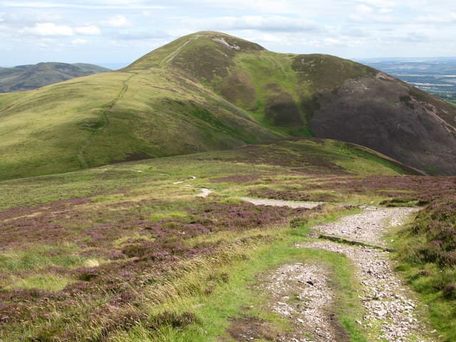
Central Scotland’s hills rise between and around its largest towns and cities, bringing proper upland walking within easy reach of Glasgow, Edinburgh and Stirling. The summits are lower than those of the Highlands, but long ridges, steep escarpments and exposed moorland provide much more than a gentle stroll after lunch.
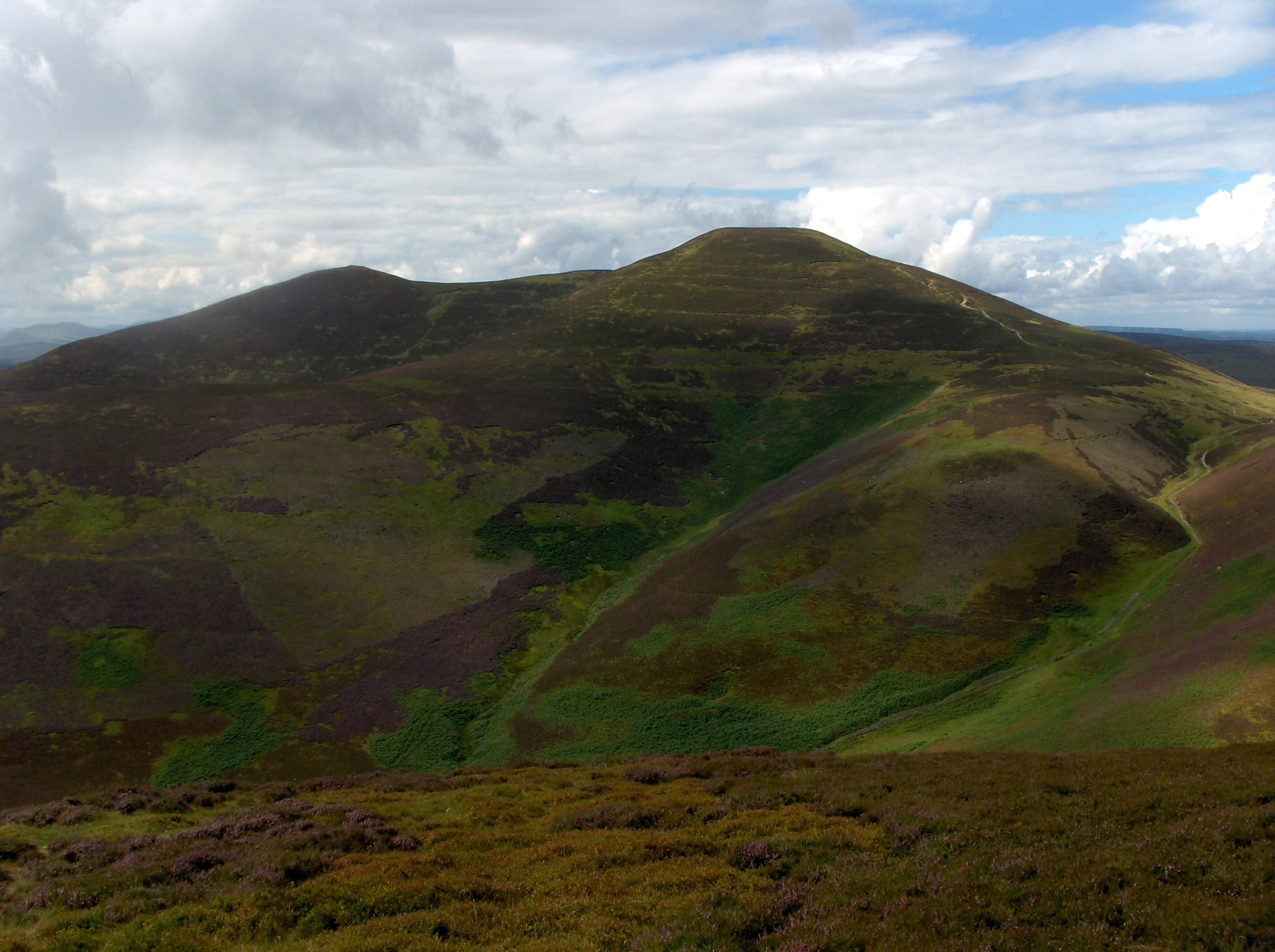
The Ochils form the highest range, climbing sharply from the Forth Valley towards Ben Cleuch, Ben Ever and Dumyat. Deep glens cut into their southern edge, creating routes that combine steep ascents with long, rolling summit walks.
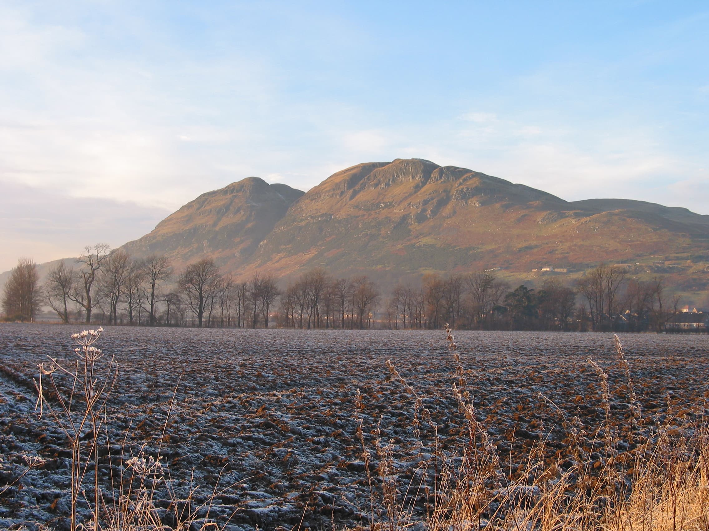
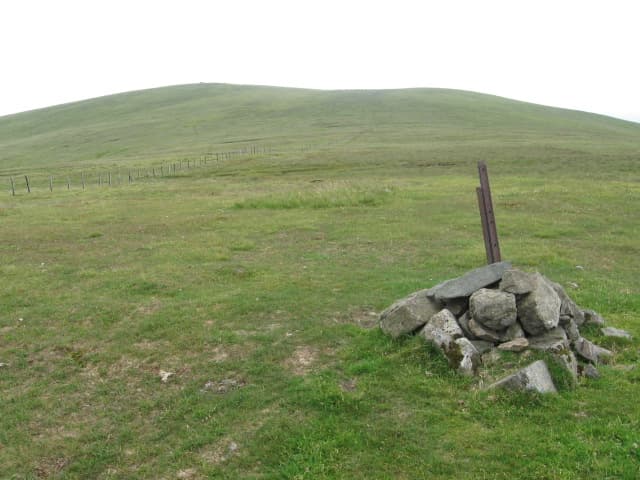
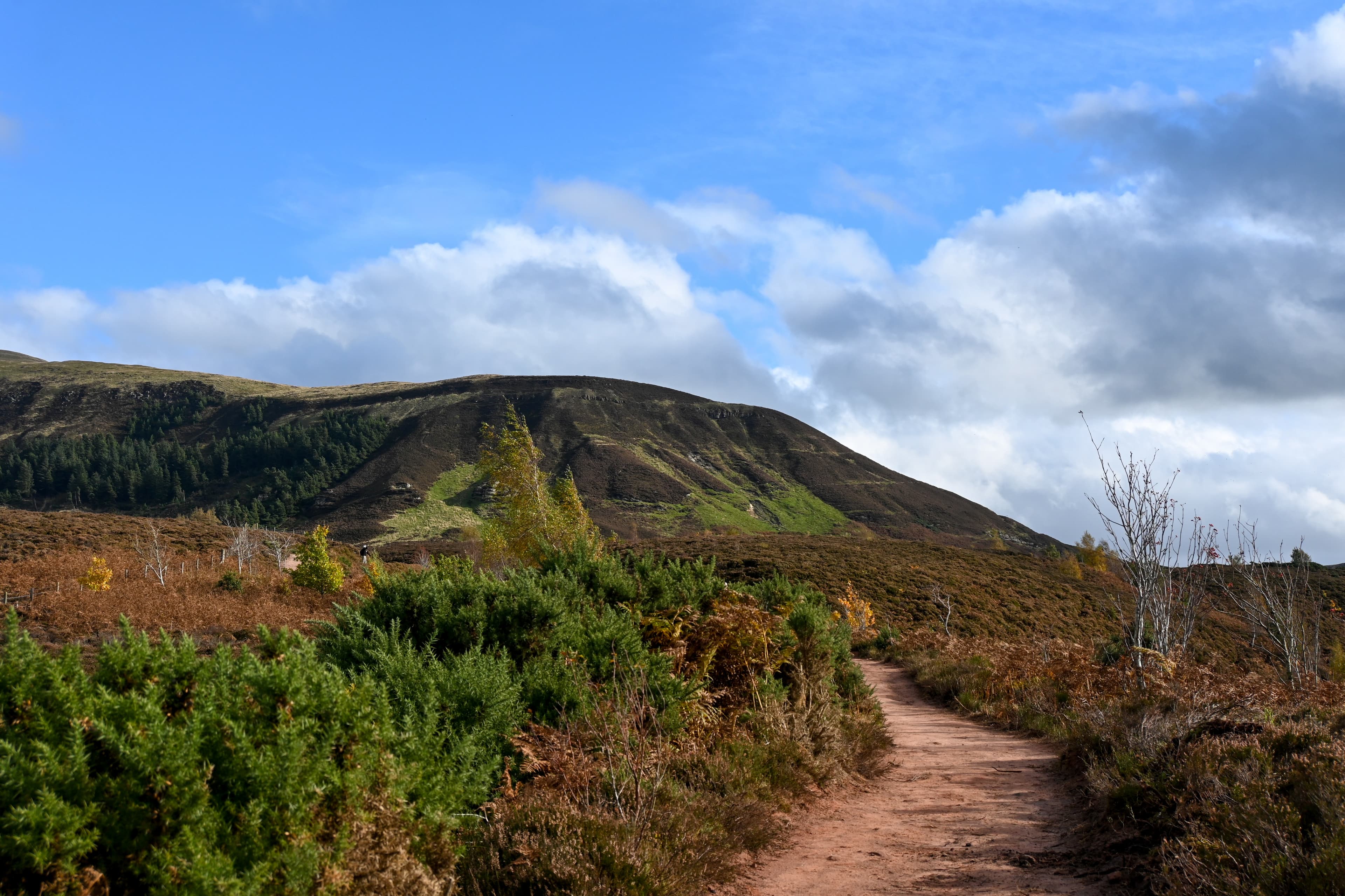
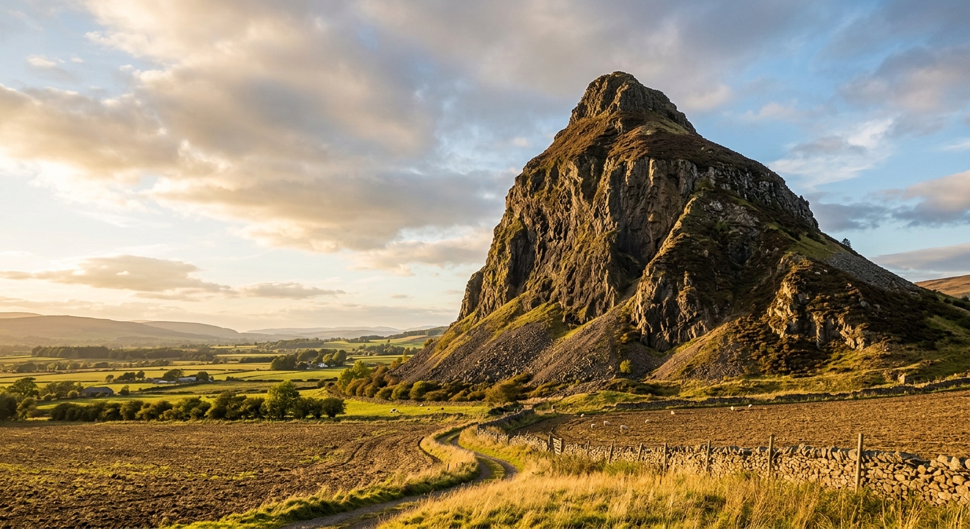
Westwards, the Campsies and Kilpatrick Hills are built from ancient volcanic rock. Dumgoyne rises abruptly above Strathblane, while Meikle Bin and Earl’s Seat provide broader views across Loch Lomond, the Highlands and the Clyde Valley.
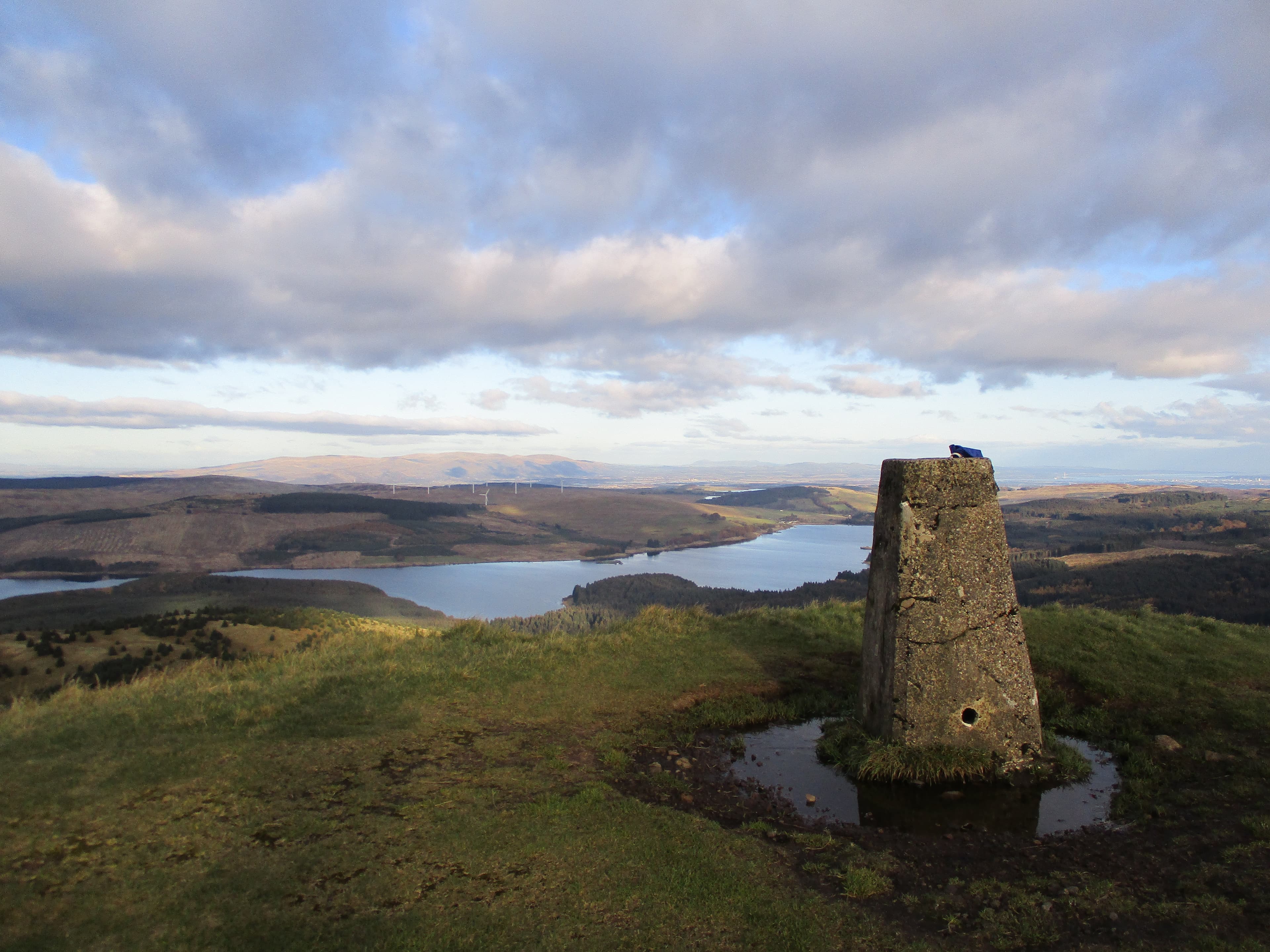
The Pentlands stretch south-west from Edinburgh in a chain of shapely hills, reservoirs and old drove roads. Their proximity to the capital makes them popular, but walk beyond the northern summits and the paths quickly become quieter.
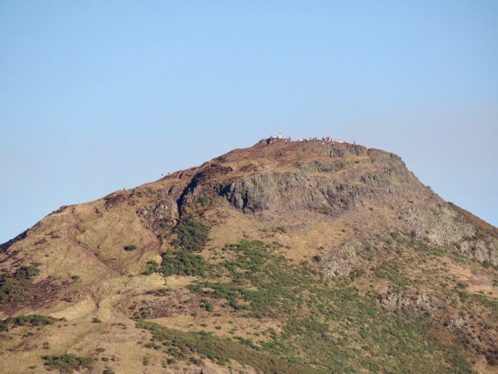
Edinburgh’s Arthur’s Seat, the Lomond Hills in Fife and numerous smaller volcanic tops add further variety. These are hills suited to short escapes, winter training and full ridge days alike.
Civilisation often remains visible below, but once the wind arrives and the cloud closes in, the Central Belt can feel surprisingly wild.
Regional signature
The Campsies
The Pentlands
The Ochils
Loup of Fintry and the Ochil burns run strongly, while longer daylight returns to the open hills. Higher paths can remain wet after winter.
Best for: Waterfalls, glens and quieter ridge walksThe hills’ proximity to Glasgow and Edinburgh makes after-work summits entirely realistic. Popular Pentland routes become busy at weekends.
Best for: vening walks and full-range traversesCooler temperatures suit longer skyline routes, while the Ochil glens and wooded lower slopes take on autumn colour.
Best for: Clear views, moorland colour and hill runningSnow can cover the Ochils and Pentlands, although conditions change quickly. Lower volcanic hills provide useful alternatives when the higher ground is icy.
Best for: Training walks and experienced hillwalkersTrailTrack Favourites
Ten hills chosen by TrailTrack
Continue exploring
Leave the city behind without losing sight of it, and discover how quickly streets can give way to open ridges.