Granite North
Four rugged Corbetts
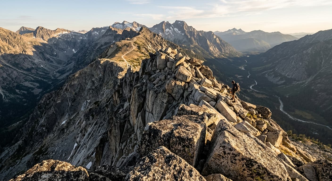
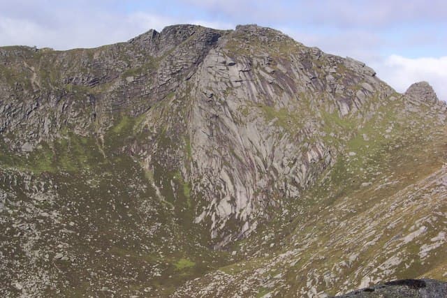
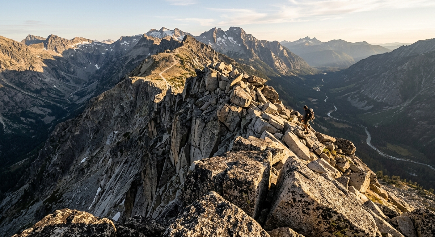
Goatfell, Caisteal Abhail, Beinn Tarsuinn and Cir Mhor form a compact mountain range of sharp ridges, glacial corries and weathered granite tors.
Region guide
“The great granite ridges may be lower in stature than those in the Highlands, but they are the equal of any mountains in Scotland for sheer grandeur.”
— Walkhighlands
Highest Peak
Goatfell — 874mSummits Above 2,000ft
TenMost Challenging Ridge
A ChirCorbett Count
FourLongest Walking Trail
Arran Coastal Way — 109kmLargest Glen
Glen IorsaAbout the region
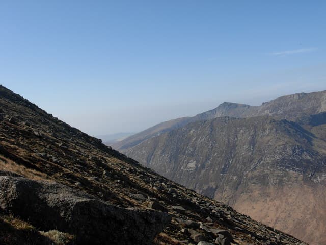
Arran compresses an improbable amount of walking into one island. North of the Highland Boundary Fault, granite mountains rise sharply above deep glens, with narrow ridges, rocky tors and routes that would feel entirely at home much farther north. To the south, the ground softens into rolling moorland, woodland, waterfalls and quieter hills overlooking the Firth of Clyde.
Goatfell is the natural introduction. Its well-built path begins close to Brodick and climbs from woodland to an open, boulder-strewn summit with views extending across the island and, in clear weather, towards Ireland. Beyond it lies a more demanding mountain world. Cir Mhor forms a near-perfect rocky pyramid, Caisteal Abhail carries the deeply cut Witches’ Step, and A Chir provides one of Arran’s most serious ridge traverses.
There is plenty below the summits too. Glen Rosa and Glen Sannox reach deep into the northern mountains, while the Arran Coastal Way links beaches, villages, cliffs and exposed shoreline. Ancient stones stand on Machrie Moor, red deer roam the glens and rare Arran whitebeams survive in remote gullies.
Arran is often called Scotland in miniature. For walkers, that description is unusually accurate: mountain days, coastal journeys and quiet southern hills, all within reach of the ferry.
Regional signature
Granite North
Rolling South
The Island Circuit
Lengthening days open up the higher routes, although snow and ice can remain on shaded ridges. Woodland, glens and waterfalls are particularly rewarding.
Best for: Clearer ridges and quieter pathsLong daylight makes Arran’s bigger ridge days possible. Goatfell can be busy, but the western hills and southern interior remain considerably quieter.
Best for: Long mountain circuits and the Coastal WayThe forests around Brodick turn richly coloured while cooler air can bring excellent visibility. Shortening days require careful timing on longer traverses.
Best for: Woodland colour and sharp summit viewsThe northern ridges can become serious mountaineering terrain in snow, ice and strong winds. The coast and southern hills provide less committing alternatives.
Best for: Experienced hillwalkers and lower coastal routesTrailTrack Favourites
Ten hills chosen by TrailTrack
Continue exploring
From granite ridges to empty coastal paths, Arran fits an extraordinary amount of Scotland into one remarkably walkable island.