Lake District
Whitfell
573M
1881FT
About Whitfell
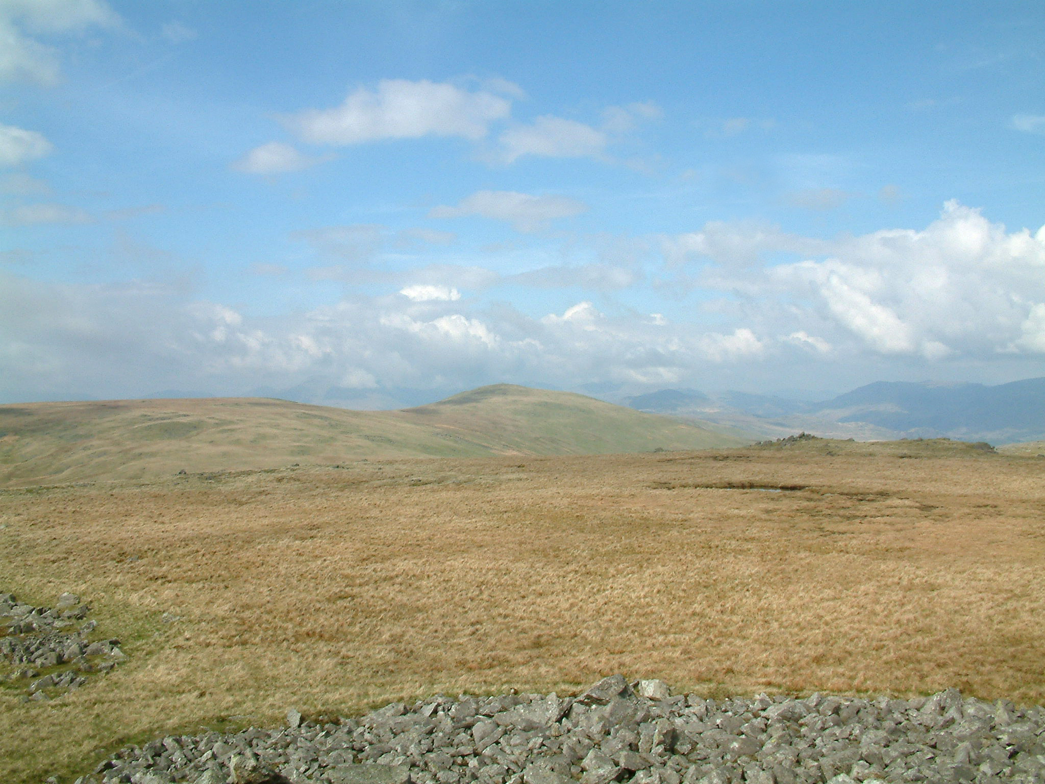
Standing as the high point of the rolling moorland between Eskdale and the Duddon Valley, this sprawling fell offers a sense of isolation rare in the Lakes. Its broad, grassy slopes lead to a summit marked by a massive cairn and trig pillar, boasting an expansive coastal panorama and views toward the Scafells.
Key Statistics
Rank
294th Highest in Region
Parent Range
Southern Fells
Prominence
?
223.1m
Nearest Town
Waberthwaite
Geology
You are walking over layers of solidified volcanic ash and stony debris. These rugged foundations were built by ancient volcanic eruptions that shaped this fell.
Find It
OS Grid Reference
SD158929
Latitude
54.3255°N
Longitude
3.2949°W
Did You Know?
- •The name is derived from the Old Norse 'hvitr' and 'fjall', meaning white hill; a reference to either the persistent winter snow or the pale, bleached grasses found on its upper slopes.
- •In his 'The Outlying Fells of Lakeland', Alfred Wainwright praised the summit as a 'wonderful place', specifically highlighting the 'magnificent' prospect of the Scafell range seen across the depths of Eskdale.
- •The summit is crowned by an unusually large ancient stone cairn that now houses a modern Ordnance Survey trig pillar, indicating its long history as a significant navigational landmark for the western coast.
- •Because it sits on the southwestern fringe of the National Park, the fell is classified as a Marilyn—a hill with a drop of at least 150 metres on all sides—giving it a prominence that belies its modest elevation.
- •While the name implies a certain purity, walkers arriving from the Duddon Valley often find the 'white' fell is mostly a study in various shades of brown, thanks to the extensive and notoriously thirsty peat bogs on its flanks.