Lake District
Buck Barrow
549M
1801FT
About Buck Barrow
Rising above the coastal plains near Waberthwaite, this quiet Wainwright Outlying Fell offers a rugged moorland character. The terrain can be pathless and soft underfoot, but provides a vast, wild perspective of the Scafell massif to the north and the Isle of Man across the Irish Sea.
Key Statistics
Rank
331st Highest in Region
Parent Range
Southern Fells
Prominence
?
72m
Nearest Town
Waberthwaite
Geology
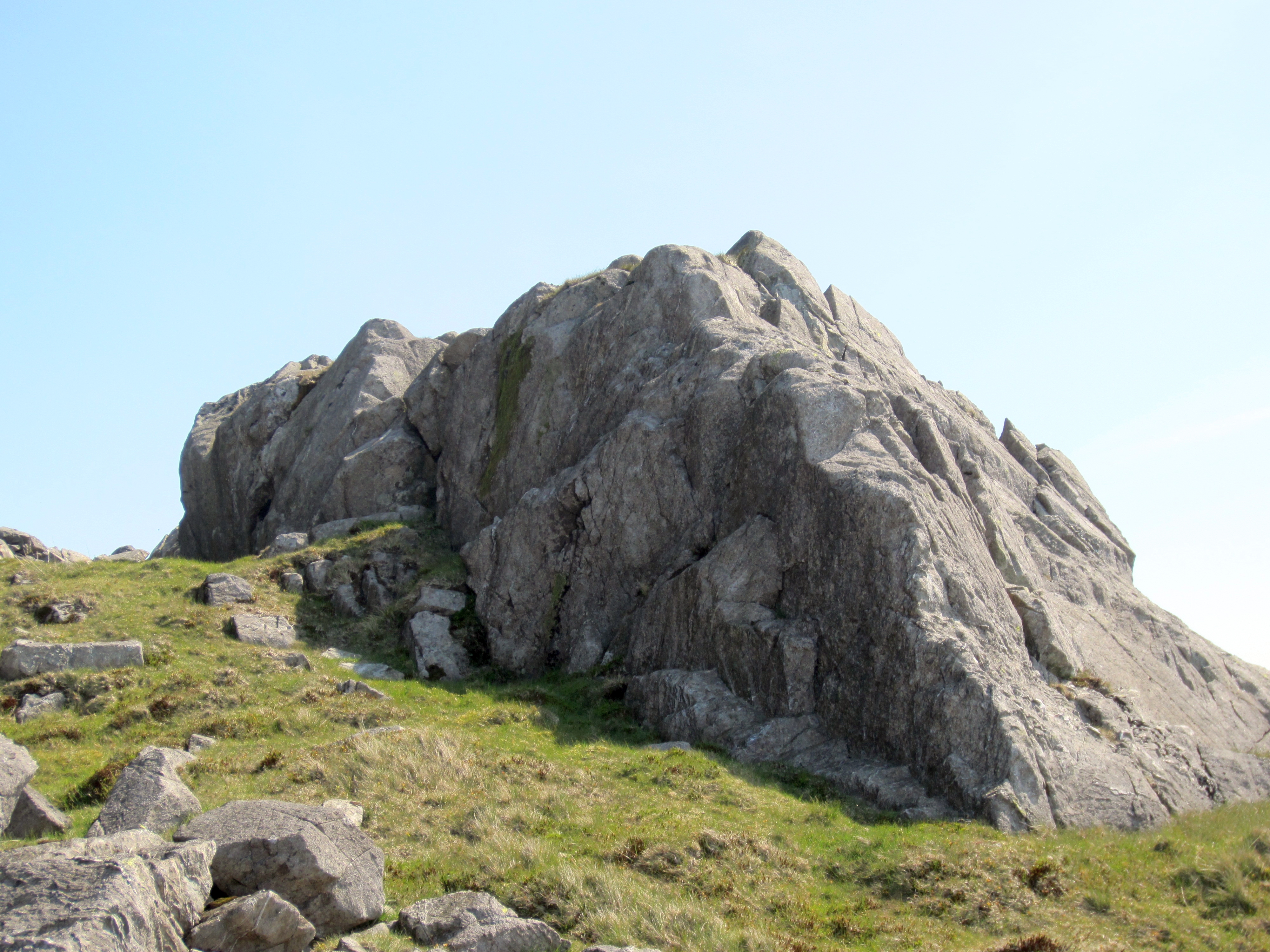
Buck Barrow is formed from the Waberthwaite formation, a landscape of compressed volcanic ash and shattered rock fragments created by ancient, explosive eruptions.
Classifications
Find It
OS Grid Reference
SD151910
Latitude
54.3080°N
Longitude
3.3048°W
Did You Know?
- •The name likely stems from the Old English 'bucca', referring to male deer, and 'beorg', meaning a hill or mound, suggesting the area was historically recognized as a habitat for red or roe deer.
- •Alfred Wainwright included the summit in his 'The Outlying Fells of Lakeland', describing the surrounding moorland as a place for 'the connoisseur who likes to get away from it all' and grouping it with the nearby Whitfell.
- •The summit provides an exceptional vantage point looking directly up the Eskdale valley, framed by the silhouettes of Scafell Pike, Bowfell, and Crinkle Crags.
- •While the 549m elevation suggests a modest ascent, the local terrain features the kind of persistent, hidden bog that makes a mockery of even the most expensive waterproof gaiters.