Lake District
Thornthwaite Crag
784M
2572FT
About Thornthwaite Crag
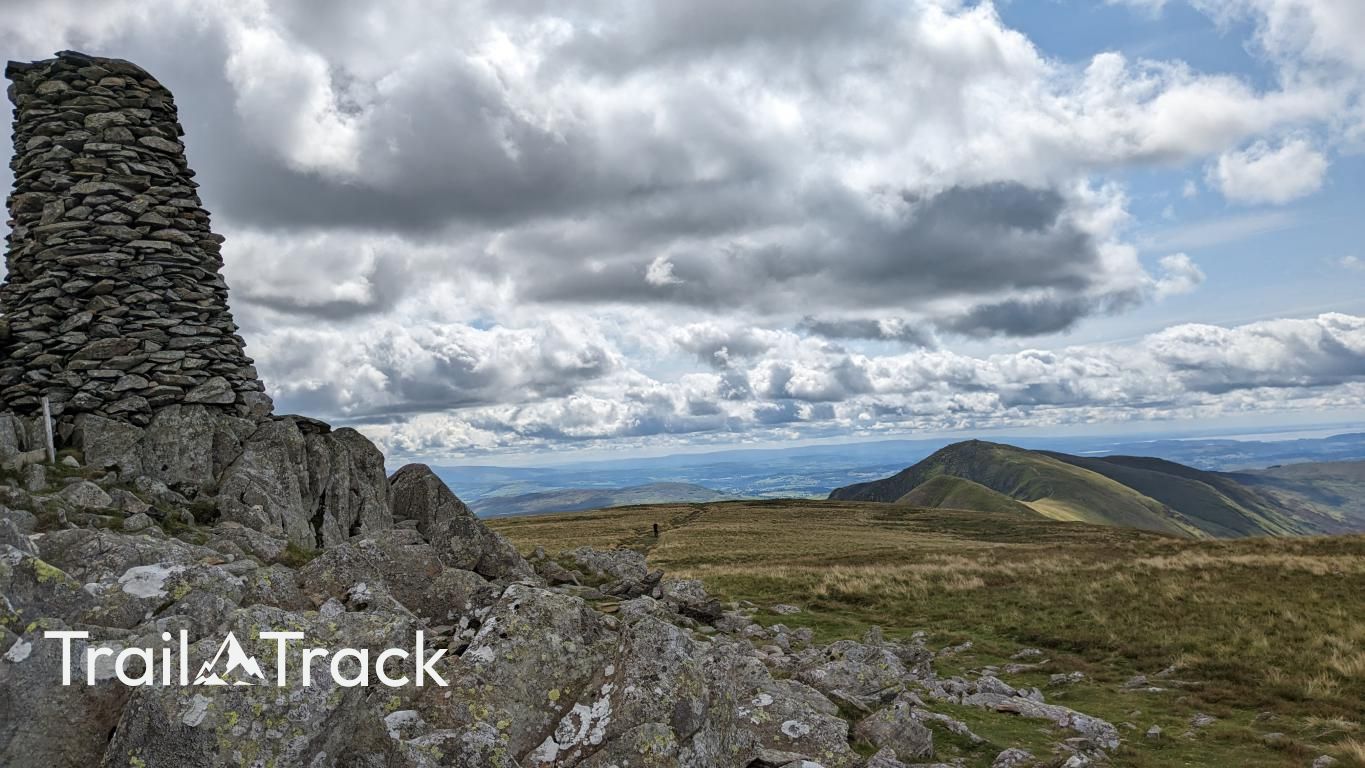
Thornthwaite Crag is a massive hub of the Far Eastern fells, best known for its iconic 14-foot stone beacon. It acts as a vital navigational landmark where the ridges of High Street, Kentmere, and Troutbeck converge, offering commanding views across the desolate high plateau.
Key Statistics
Rank
77th Highest in Region
Parent Range
Far Eastern Fells
Prominence
?
30.6m
Nearest Town
Patterdale
Geology
Thornthwaite Crag is built from ancient volcanic ash (andesitic tuff), sandstone, and harder andesite intrusions, giving the fell its rugged character.
Find It
Latitude
54.4826°N
Longitude
2.8790°W
Did You Know?
- •The summit is crowned by Thornthwaite Beacon, a massive stone obelisk standing nearly 14 feet high. It was constructed by local shepherds to serve as a landmark for navigation during the frequent and disorienting mountain mists.
- •The fell serves as a major topographical junction where three prominent ridges meet, making it a central pivot point for several classic long-distance routes, including the celebrated Kentmere Horseshoe.
- •The name 'Thornthwaite' has Old Norse origins, combining 'thorn' (thorny bush) and 'thveit' (a clearing), suggesting the area was once a scrubby meadow used for early upland grazing.
- •Directly to the east lies Hayeswater; once a dammed reservoir providing water to Penrith, it was successfully restored to its natural state as a mountain tarn in 2014 by United Utilities.
- •While the Beacon is a glorious sight, the ascent via the 'Strolls' from the south is a bit of a misnomer, as the unrelenting incline will have most hikers questioning their definition of a leisurely walk.