Lake District
Mardale Ill Bell
761M
2497FT
About Mardale Ill Bell
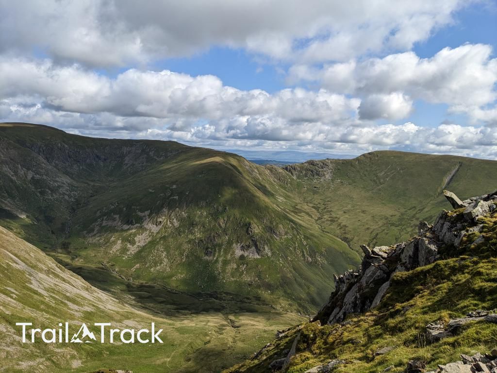
Mardale Ill Bell sits as a stony sentinel between High Street and Harter Fell, offering some of the best aerial views of the Haweswater Reservoir. It’s a core part of the Kentmere Horseshoe, known for its rugged terrain and its position overlooking the dramatic, glacier-carved cove of Blea Water.
Key Statistics
Rank
102nd Highest in Region
Parent Range
Far Eastern Fells
Prominence
?
14m
Nearest Town
Shap Rural
Geology
You are walking on ancient volcanic rocks, mostly andesite and ash-like tuffs from past eruptions.
Classifications
Find It
Latitude
54.4834°N
Longitude
2.8541°W
Did You Know?
- •The fell directly overlooks Blea Water, which holds the title of the deepest tarn in the Lake District at approximately 200 feet (61 metres) deep.
- •The summit is composed of volcanic rocks from the Borrowdale Volcanic Group, specifically the Seathwaite Fell Formation, resulting in its characteristic rugged and stony cap.
- •Its name incorporates the Old Norse word 'illr', meaning bad or evil, likely referencing the treacherous, craggy slopes that drop steeply towards the Mardale valley.
- •Just below the summit lies the Nan Bield Pass, an ancient packhorse route that features a legendary stone shelter, built to provide sanctuary for travellers caught in the valley's notorious mist.
- •Navigating the summit cairn is less of a hike and more of a precision-balancing act on a giant pile of loose rubble, seemingly designed to test the durability of your boots and the patience of your knees.