Scotland
The Cairnwell
933M
3061FT
About The Cairnwell
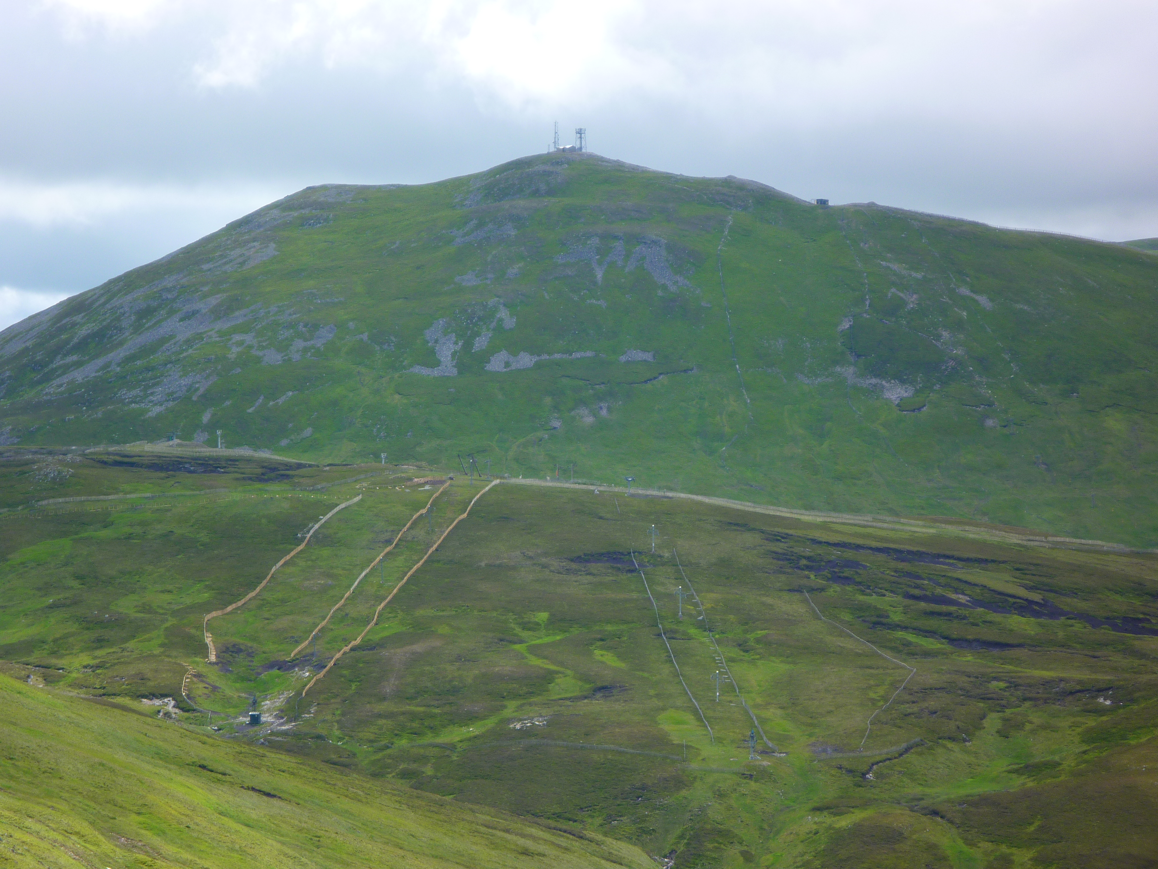
Standing prominently above the Glenshee Ski Centre, this Munro is one of Scotland’s most accessible summits. While industrialised by chairlifts and telecommunications masts, it offers an easy high-altitude walk. It is frequently climbed alongside its neighbours, Càrn Aosda and Càrn a' Gheòidh, providing expansive views across the high plateaus of the Mounth.
Key Statistics
Rank
21st Highest in Region
Parent Range
The Grampians
Prominence
?
127.1m
Nearest Town
Braemar
Geology
The trail beneath you is built from the An Socach Quartzite Formation. It is a tough, pebbly rock that provides the mountain's solid and durable foundation.
Find It
OS Grid Reference
NO134773
Latitude
56.8790°N
Longitude
3.4226°W
Did You Know?
- •The name is derived from the Gaelic An Càrn Bhailg, meaning 'the hill of the bags' or 'the hill of the bulges', likely referring to the rounded, lumpy appearance of the surrounding terrain.
- •The A93 road at the Cairnwell Pass reaches 670 metres, providing a significant head start that leaves walkers with only about 260 metres of ascent to reach the summit.
- •The summit is the most heavily developed in the Highlands, hosting a large telecommunications complex and the top station of the Cairnwell chairlift, which operates during the winter ski season.
- •From the top, the view south looks directly down the long trench of Glenshee, while to the east, the massive, flat-topped bulk of Glas Maol dominates the horizon across the ski slopes.
- •Walkers often combine the hill with Càrn Aosda and Càrn a' Gheòidh. While the first two are dominated by ski infrastructure, the walk west to Càrn a' Gheòidh offers a sudden transition into quiet, high-altitude wilderness.
- •Purists often describe the summit as a 'technological eyesore', but it remains the only Munro where you can realistically reach the trig point and be back at a car-park café in under two hours.