Lake District
Stybarrow Dodd
844M
2768FT
About Stybarrow Dodd
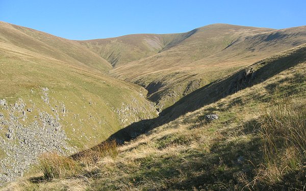
Stybarrow Dodd is a broad, grassy shoulder on the Helvellyn ridge, offering a gentler alternative to its craggy neighbours. While its summit is a wide plateau, it provides some of the best unobstructed views north towards Blencathra and serves as a key junction for the historic Sticks Pass.
Key Statistics
Rank
35th Highest in Region
Parent Range
Eastern Fells
Prominence
?
68.9m
Nearest Town
Legburthwaite
Geology
You’re walking on the Thirlmere Tuff, a layer of rhyolitic volcanic ash that solidified into rock.
Find It
OS Grid Reference
NY343189
Latitude
54.5611°N
Longitude
3.0174°W
Did You Know?
- •The name 'Stybarrow' is thought to derive from the Old Norse 'stia', meaning pigsty, and 'berg', meaning hill, which was later appended with 'dodd' to describe its rounded profile.
- •Geologically, the fell is part of the Borrowdale Volcanic Group, though its surface is largely smoothed over by glacial action and thick turf compared to the rugged crags further south.
- •The summit is a major focal point for the Sticks Pass, a historic trans-fells packhorse route that reaches an elevation of 748 metres and once linked the mining communities of Glenridding and Legburthwaite.
- •Stybarrow Dodd marks the high point of the long northeast ridge that eventually descends to the smaller Glenridding Dodd, which stands as a prominent sentinel directly above Ullswater.
- •Because the summit is so vast and lacking in distinct features, it is a classic spot for 'summit-faffing' in the mist, where hikers often find themselves following the wrong fence line toward the neighbouring Watson’s Dodd.