Lake District
Raise
883M
2896FT
About Raise
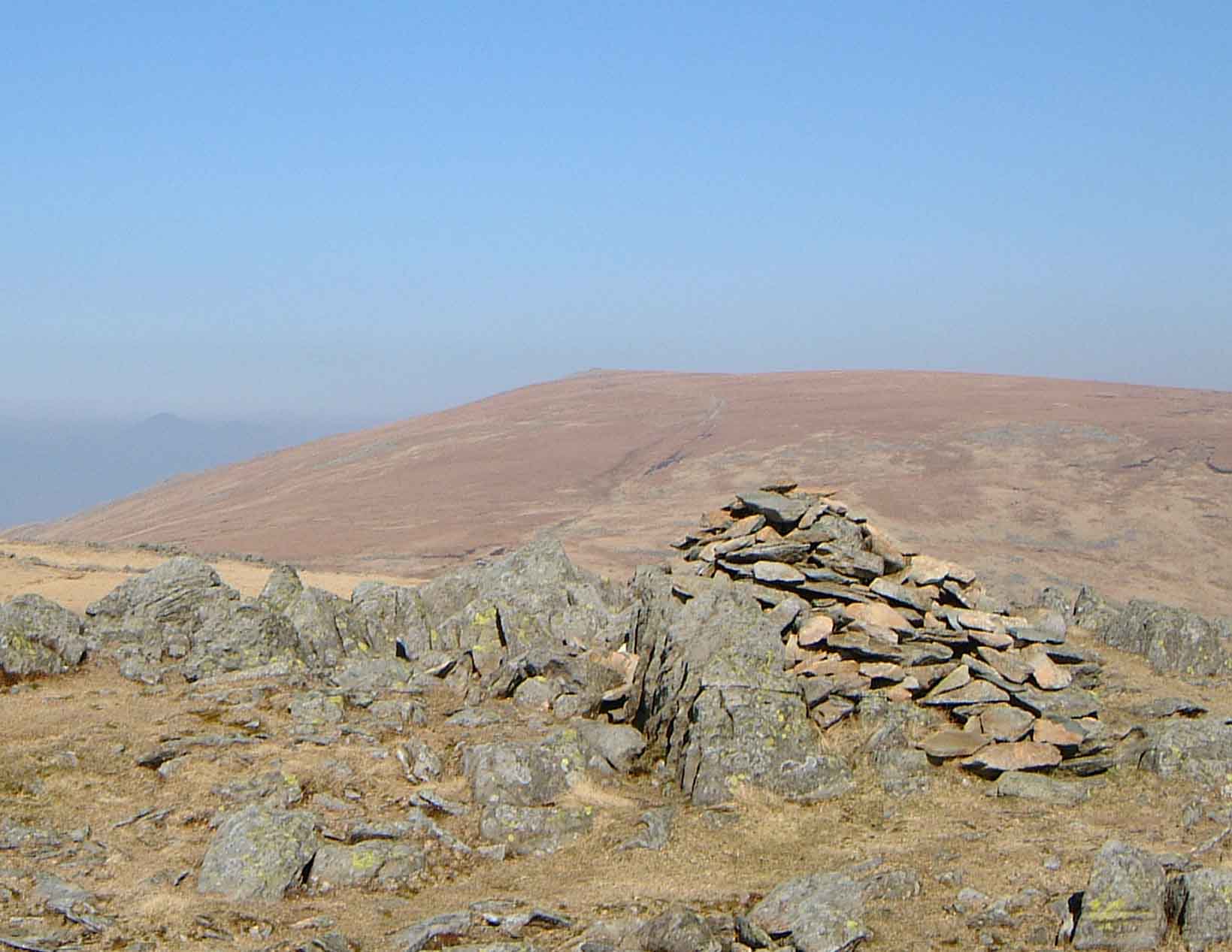
High on the Helvellyn range, this stony-topped Wainwright provides a more rugged character than its grassy neighbours. Often visited via the bridleway of Sticks Pass from Glenridding, its summit plateau offers a panoramic perspective of the northern Dodds and the great, sprawling bulk of Helvellyn immediately to the south.
Key Statistics
Rank
21st Highest in Region
Parent Range
Eastern Fells
Prominence
?
91.6m
Nearest Town
St. John's Castlerigg and Wythburn
Geology
You are walking across ancient lava flows that have hardened into tough volcanic rock. These layers of andesite form the rugged foundation beneath your feet.
Find It
OS Grid Reference
NY342174
Latitude
54.5477°N
Longitude
3.0175°W
Did You Know?
- •The name is derived from the Old Norse word 'hreysi', signifying a cairn or a pile of stones. This likely refers to the prominent summit cairn or the generally rubble-strewn nature of the plateau compared to the smoother ridges nearby.
- •It is home to the Lake District Ski Club, which operates a permanent button tow on the north-western slopes. Established in 1936, this 'English Alp' provides several runs when snow conditions allow, though the lift must be accessed on foot via a steep climb from Glenridding.
- •Alfred Wainwright held the summit in high regard, describing it as the 'best viewpoint in the Helvellyn range.' He particularly noted the unobstructed sight of the Scafell massif across the central fells and the dramatic profile of Blencathra to the north.
- •The eastern slopes above Glenridding are marked by the historic workings of the Greenside lead mine. Once one of the most productive mines in the country, it operated for over 140 years before closing in 1962, leaving behind the massive spoil heaps visible during the ascent.
- •The presence of the ski tow means Raise is the only place in the Lake District where you might find yourself queuing for a lift, though the lack of a cable car or a slope-side bar usually keeps the crowds to a respectable minimum.