Lake District
Smithy Fell
392M
1286FT
About Smithy Fell
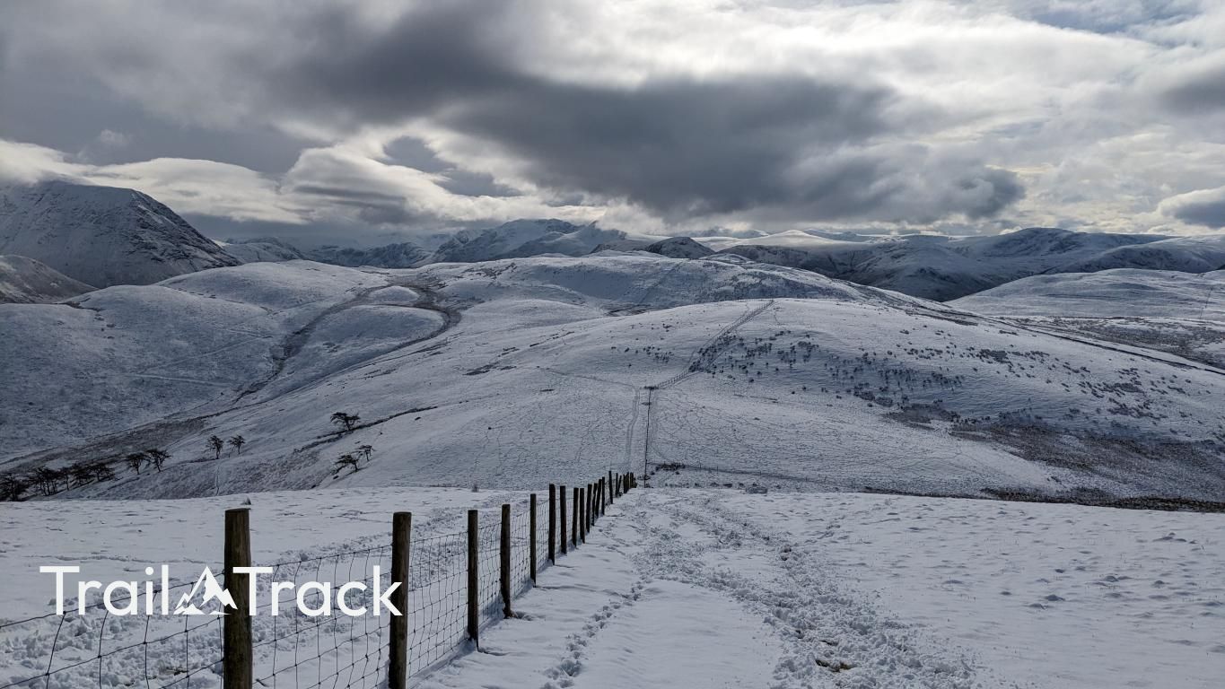
Smithy Fell is a gentle, grassy shoulder situated on the ridge connecting Fellbarrow and Low Fell. While often bypassed by hikers rushing toward the more famous viewpoints of Loweswater, it provides a quiet, airy spot to appreciate the rolling terrain of the northern Western Fells.
Key Statistics
Rank
623rd Highest in Region
Parent Range
Western Fells
Prominence
?
22m
Nearest Town
Loweswater
Geology
You are walking on the Loweswater Formation, a hard, layered rock known as wacke that formed from ancient river and lake sediments. It feels solid and stable under your feet.
Find It
Latitude
54.6012°N
Longitude
3.3434°W
Did You Know?
- •The fell is classified as a 'Birkett,' one of the 541 hills in the Lake District over 1000ft included in Bill Birkett’s influential 1994 guidebook.
- •The ridge is composed of Skiddaw Slate, some of the oldest rock in the Lake District, which typically results in the smooth, grassy profiles seen here compared to the craggy volcanic rocks further south.
- •Its name likely refers to historical small-scale ironwork or a local forge that once served the rural farming communities in the nearby Lorton Vale or Thackthwaite.
- •The surrounding slopes are a prime habitat for ground-nesting birds like skylarks and meadow pipits, whose song is a constant companion on the climb from Loweswater.
- •While the gradient is easy, the ground is remarkably efficient at retaining water; expect a 'refreshing' squelch in your boots if you deviate even slightly from the main ridge path.