Lake District
Hindscarth
727M
2385FT
About Hindscarth
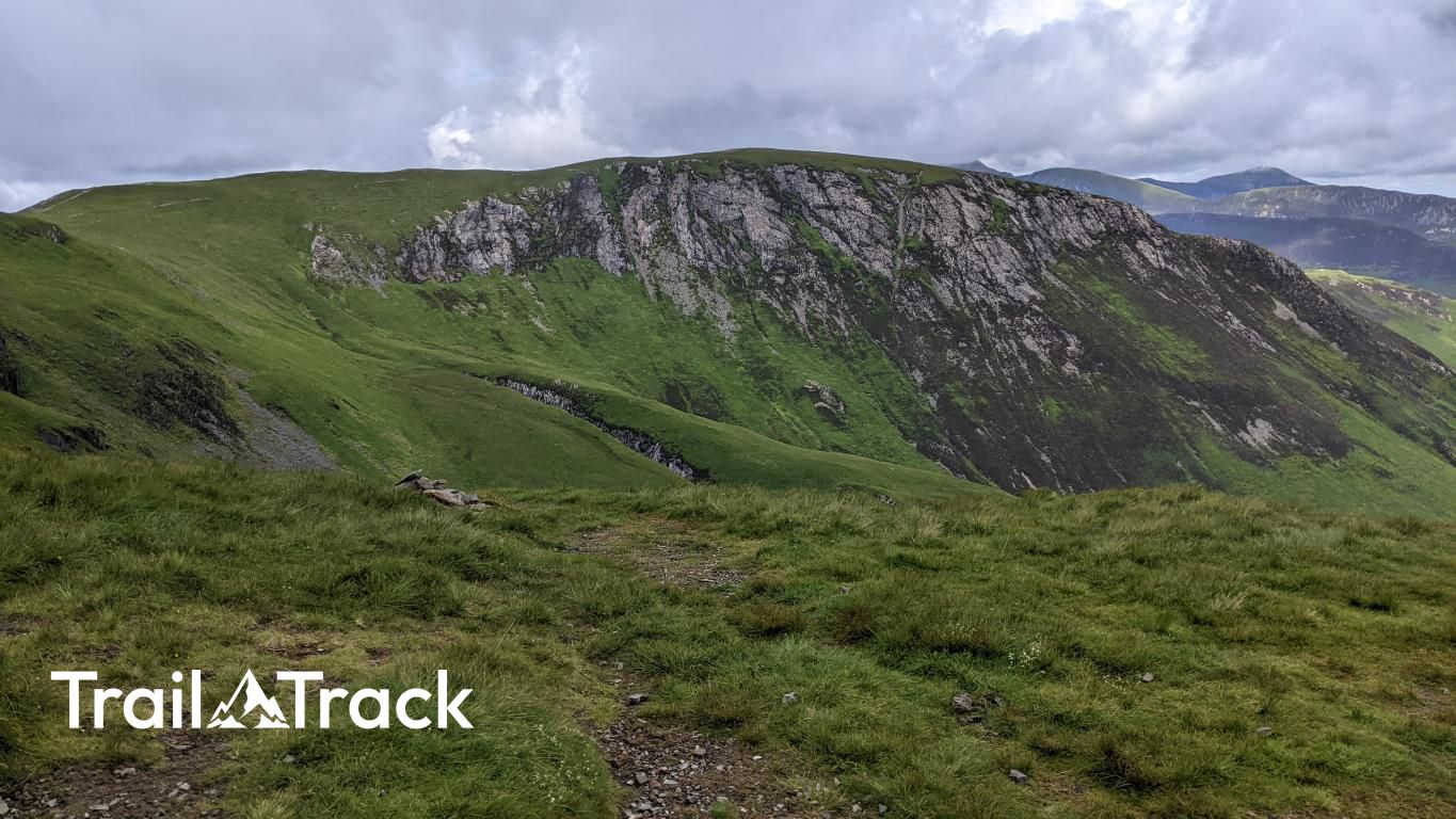
Often combined with Robinson and Dale Head, this North Western fell offers a broad, airy summit plateau. Its northern ridges, particularly Scope End, provide dramatic approaches from the Newlands Valley, while the southern crest joins the high-level path towards Dale Head, overlooking the deep troughs of Honister Pass.
Key Statistics
Rank
134th Highest in Region
Parent Range
North Western Fells
Prominence
?
71
Nearest Town
Stair
Geology
You are walking over a mix of hardened mud and tough, dark rock that once cooled from molten material deep underground.
Find It
Latitude
54.5378°N
Longitude
3.2138°W
Did You Know?
- •The name is rooted in Old Norse, combining 'hind' (a female red deer) and 'skarth' (a mountain pass), suggesting the fell was once a known crossing point for deer moving between the Buttermere and Newlands valleys.
- •Alfred Wainwright was particularly fond of the northern approach via Scope End, describing the ridge as 'a delightful staircase' that offers an exhilarating route into the heart of the fells.
- •The summit is marked by a substantial wind shelter, which is a welcome feature on this exposed plateau. From here, the view west is dominated by the dark, craggy profiles of High Stile and Red Pike rising steeply above the hidden waters of Buttermere.
- •Most walkers visit Hindscarth as part of the classic Newlands Horseshoe, a high-level circuit that links it with Robinson and Dale Head, providing one of the most consistent ridge-walking experiences in the Lake District.
- •The northern slopes overlook the historic mining grounds of the Newlands Valley; the remains of the Goldscope Mine, once a major producer of lead and copper, sit directly beneath the fell's eastern flank.
- •Despite its impressive height and central position, Hindscarth is frequently treated as a mere transit point between its more famous neighbours—a somewhat unfair assessment for a fell with such a fine northern ridge.