North Pennines
Greenhow Hill Top
428M
1404FT
About Greenhow Hill Top
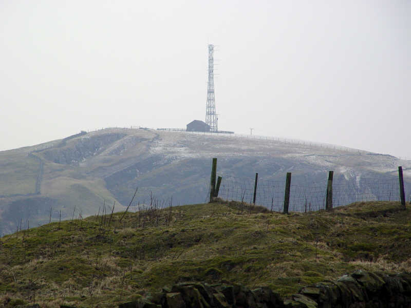
Perched high above Pateley Bridge on the eastern edge of the Yorkshire Dales, this prominent Tump is defined by its industrial scars and expansive vistas. The summit plateau overlooks the dramatic Coldstones Quarry, offering a stark, windswept perspective of Nidderdale and the gritstone edges of Simon’s Seat to the south.
Key Statistics
Rank
210th Highest in Region
Parent Range
Yorkshire Dales
Prominence
?
Data coming soon
Nearest Town
North Yorkshire
Geology
The hill is built from layers of sturdy sandstone, siltstone, and limestone. These gritty and clay-rich rocks form the rugged ground beneath your boots.
Classifications
Nearby Fells
Find It
OS Grid Reference
SE111638
Latitude
54.0670°N
Longitude
1.8380°W
Did You Know?
- •The name Greenhow is rooted in Old Norse, combining 'grene' (green) and 'haugr' (hill or burial mound), a common linguistic marker of the Viking influence throughout the Pennine uplands.
- •This hill was a significant centre for the lead mining industry from Roman times until the 19th century; the surrounding moorland is still peppered with 'rakes' and spoil heaps left by generations of miners.
- •Immediately adjacent to the summit is Coldstones Cut, a massive walk-in sculpture and viewpoint that allows walkers to peer into the depths of one of the highest working limestone quarries in the country.
- •From the top, the view stretches across the valley to the distinctive silhouette of Great Whernside, while on a clear day, the White Horse of Kilburn can be spotted on the distant Hambleton Hills to the east.
- •The village of Greenhow, which sits just below the summit, is one of the highest sets of dwellings in England—a place where the local climate is famously described as having just two seasons: winter and July.