Lake District
Eagle Crag
523M
1715FT
About Eagle Crag
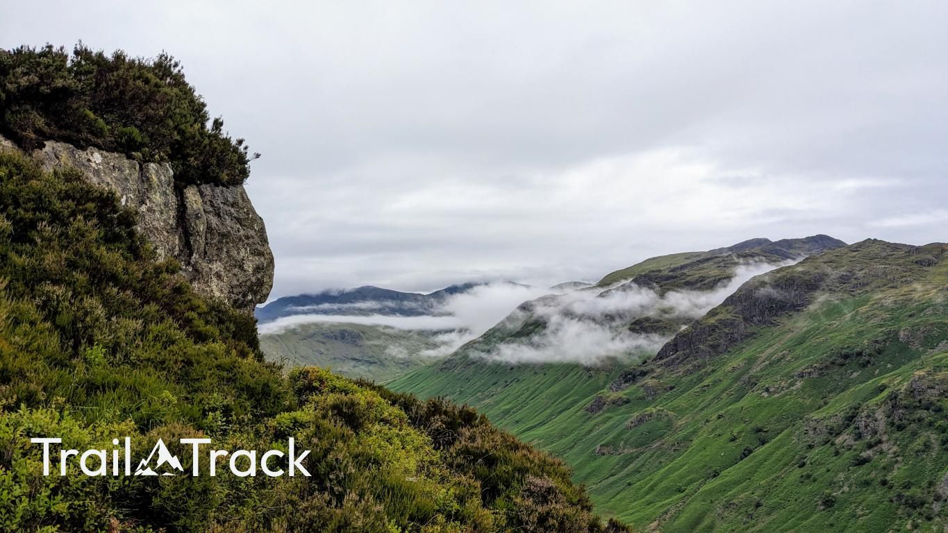
Standing like a natural fortress above Rosthwaite, Eagle Crag dominates the view where the Langstrath and Greenup valleys diverge. It’s a steep, rocky climb that feels significantly higher than its 522 meters, offering some of the most dramatic crag-scrambling and views in the Central Fells.
Key Statistics
Rank
374th Highest in Region
Parent Range
Central Fells
Prominence
?
29.2m
Nearest Town
Rosthwaite
Geology
You’re walking on a mix of volcanic ash layers (felsic tuff), broken volcanic fragments that have been eroded and reworked, and a layer of volcanic glass rock (rhyolite).
Classifications
Find It
Latitude
54.4991°N
Longitude
3.1205°W
Did You Know?
- •Part of the Borrowdale Volcanic Group, Eagle Crag's rugged profile is formed from hard-wearing volcanic tuffs and breccias that survived the scouring of glacial ice.
- •The fell marks a major geographical junction where two massive glacial troughs, Greenup Gill and Langstrath, meet to form the head of the Borrowdale valley.
- •As the name suggests, the fell's sheer, inaccessible northern cliffs were historically one of the last major nesting sites for Golden Eagles in the Lake District.
- •While the front looks impenetrable to walkers, the ascent is made possible by a series of steep, hidden terraces and gullies that weave through the rock face.
- •Tackling the direct ascent from the valley floor is essentially a 1,700-foot StairMaster session, usually followed by a mandatory 'bog-trot' if you decide to continue toward Sergeant's Crag.