Lake District
Crag Fell
523M
1715FT
About Crag Fell
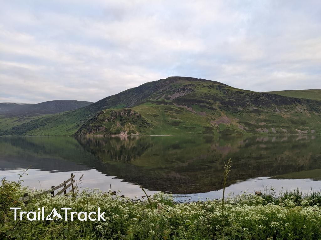
Crag Fell is the quintessential Western Fell, best known for the dramatic Anglers Crag dropping steeply into Ennerdale Water. It’s a straightforward but rewarding climb from the lake's foot, often paired with Grike to provide one of the finest vantage points over the valley’s remote, forested interior.
Key Statistics
Rank
374th Highest in Region
Parent Range
Western Fells
Prominence
?
114m
Nearest Town
Ennerdale and Kinniside
Geology
You're walking on the Buttermere Formation, a mix of mudstone and sandstone laid down thousands of years ago, though the exact age is uncertain.
Classifications
Find It
Latitude
54.5167°N
Longitude
3.3961°W
Did You Know?
- •The fell’s most striking feature is Anglers Crag, a steep buttress of Skiddaw slate that plunges directly into the southern shore of Ennerdale Water.
- •Traces of old iron ore mines can be found on the lower slopes, particularly near the Gutterby area, reflecting the industrial heritage that once peppered this quiet valley.
- •The name is a simple tautology derived from the Middle English 'crag' and Old Norse 'fjall', both essentially meaning a rocky hill or mountain.
- •A prominent dry stone wall, known as a deer dyke, runs directly across the fell and serves as a reliable navigational aid for reaching the summit cairn in poor visibility.
- •Despite its modest height, the direct scramble up from the lake shore through the loose scree will quickly remind your calves that 'Western Fell' is often Cumbrian for 'steeper than it looks.'