Lake District
Bowness Knott
333M
1092FT
About Bowness Knott
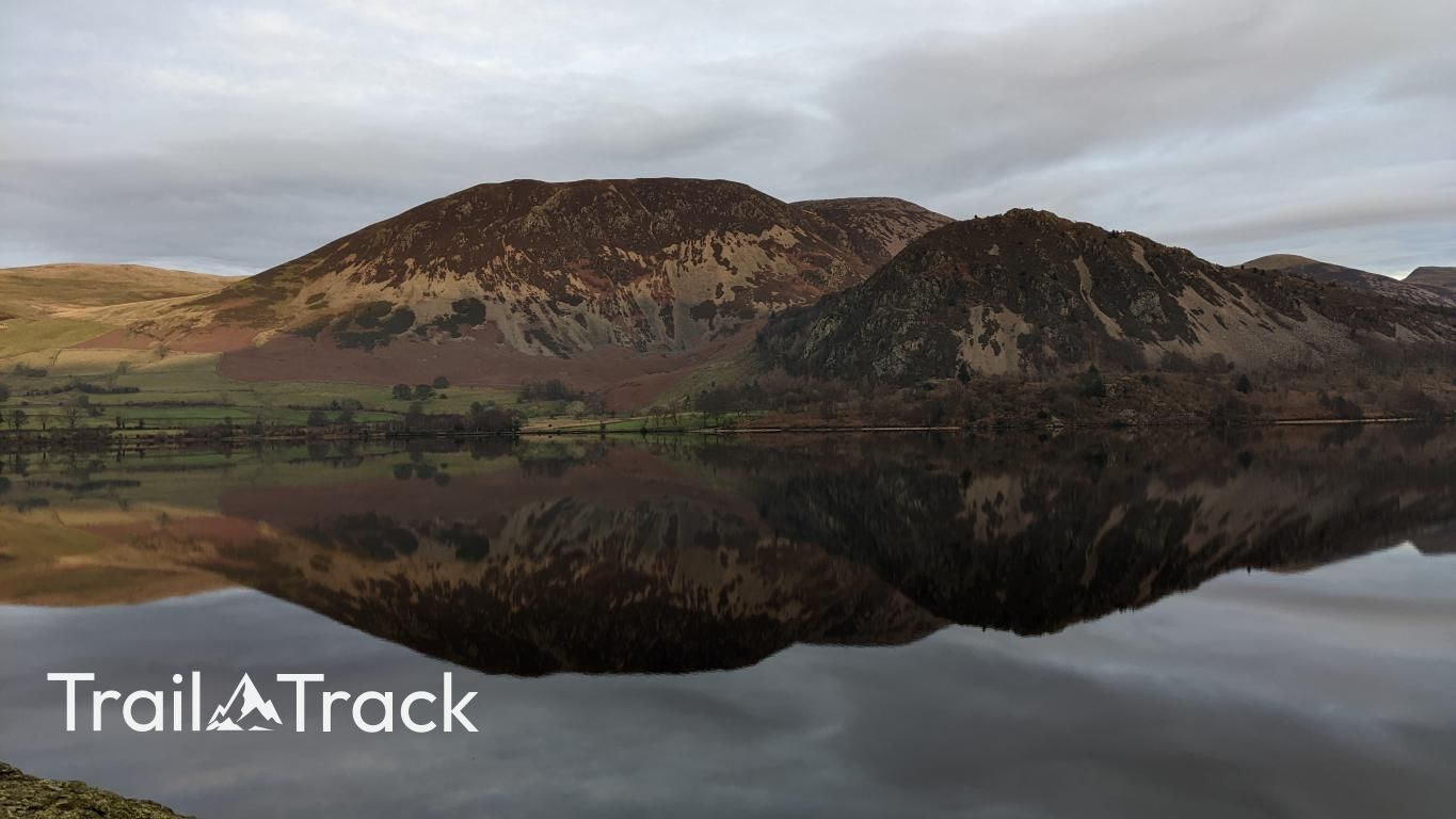
Guarding the western entrance to the Ennerdale valley, this rugged, craggy outcrop offers an immediate sense of the wildness characterizing the Western Fells. Despite its modest height, the ascent is steep and rocky, rewarding walkers with a dramatic, bird's-eye view over the deep waters of Ennerdale toward the High Stile range.
Key Statistics
Rank
716th Highest in Region
Parent Range
Western Fells
Prominence
?
41
Nearest Town
Ennerdale and Kinniside
Geology
You’re hiking across ancient layers of mudstone and sandstone, joined by hard, crystalline granite that pushed up through the surrounding rock.
Find It
Latitude
54.5275°N
Longitude
3.3733°W
Did You Know?
- •The name is rooted in Old Norse, with 'Bowness' likely signifying a bow-shaped headland (bogi-nes), accurately describing how the fell curves into the northern shore of Ennerdale Water.
- •While often bypassed in favour of the higher Ennerdale horseshoe, it is a classified Birkett and Synge summit, valued for its rugged character and the perspective it offers on the valley floor.
- •The summit provides an excellent vantage point to study the 'Wild Ennerdale' project, offering clear views of the regenerating forest and the scree-scarred face of Anglers Crag directly across the water.
- •The hill is composed of Ennerdale Granophyre, a distinctive type of igneous rock that gives the summit its particularly rough, grippy texture and craggy profile.
- •It is perhaps the only hill in the Lake District where you can enjoy a genuine sense of mountain isolation while still being able to see if you left your car headlights on in the car park directly below.