Lake District
Birkhouse Moor
717M
2354FT
About Birkhouse Moor
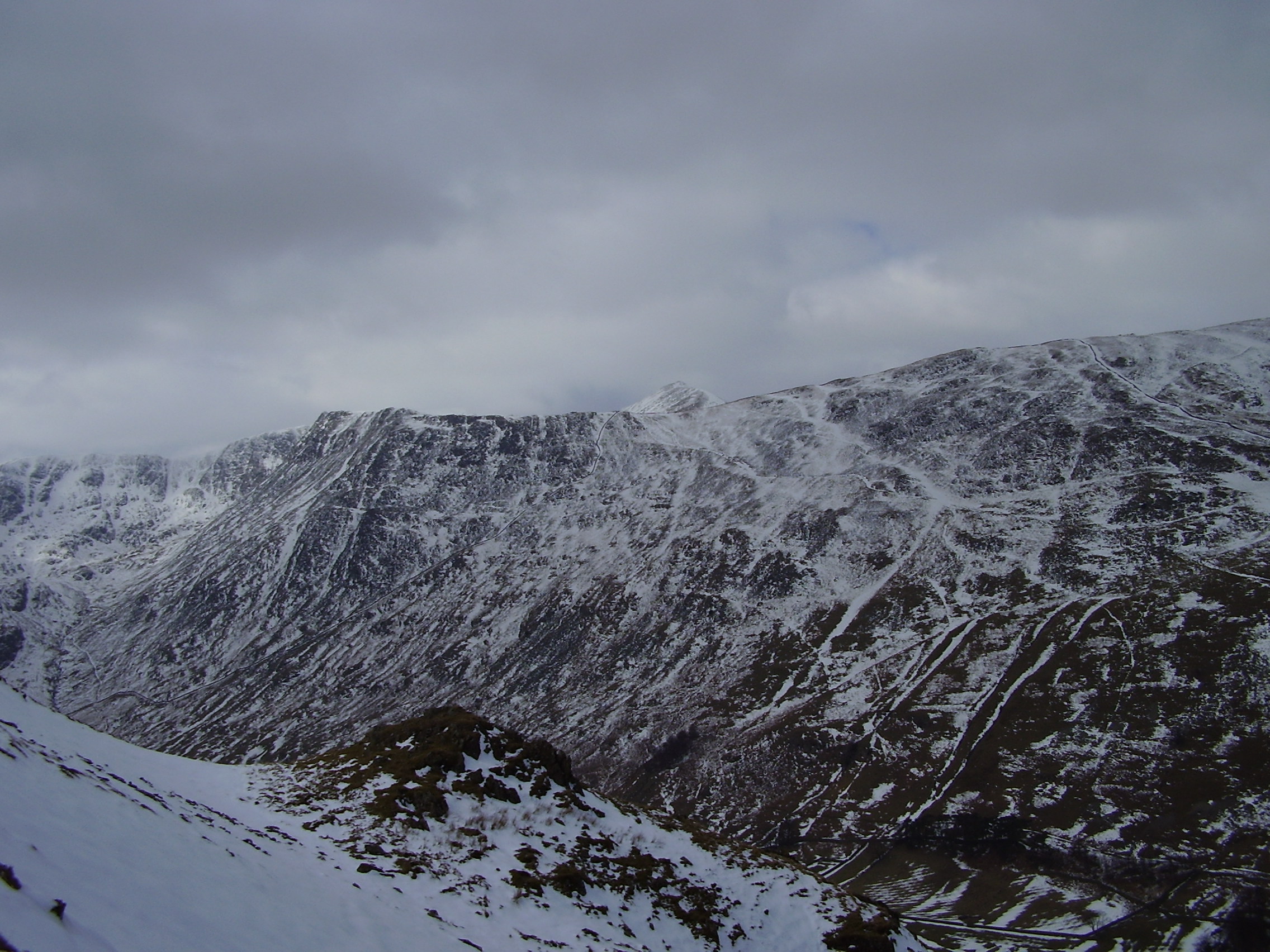
Birkhouse Moor is essentially the gateway to Helvellyn for those starting in Glenridding. It offers a steady climb alongside a prominent drystone wall, leading to the famous 'Hole-in-the-Wall' gap. The plateau provides a rare moment of level ground and exceptional views across Ullswater before the terrain gets serious.
Key Statistics
Rank
143rd Highest in Region
Parent Range
Eastern Fells
Prominence
?
22.3m
Nearest Town
Glenridding
Geology
Underfoot, Birkhouse Moor is built of ancient volcanic ash layers (lapilli‑tuff) and harder dacite lava flows, both remnants of past eruptions.
Find It
Latitude
54.5350°N
Longitude
2.9853°W
Did You Know?
- •The summit plateau is bisected by a long drystone wall that leads directly to the 'Hole-in-the-Wall', a crucial junction where the paths from Glenridding and Patterdale meet before the ascent of Striding Edge.
- •While strictly a ridge of Helvellyn, Birkhouse Moor was categorised as a separate fell by Alfred Wainwright, who argued its distinct character and northern views justified its independent status.
- •The name is derived from Old Norse roots, with 'birk' meaning birch tree and 'house' referring to an early settlement or shieling located on the fell's lower eastern slopes.
- •Below its eastern crags lies the valley of Glenridding, home to the historic Greenside Mine, which produced over 190,000 tons of lead ore before it finally ceased operations in the 1960s.
- •It acts as a bit of a psychological trick; by the time you reach the summit cairn, you’ve done most of the hard climbing, only to look up and realize the massive bulk of Helvellyn is still towering another 200 metres above you.