Lake District
Arthur's Pike
533M
1748FT
About Arthur's Pike
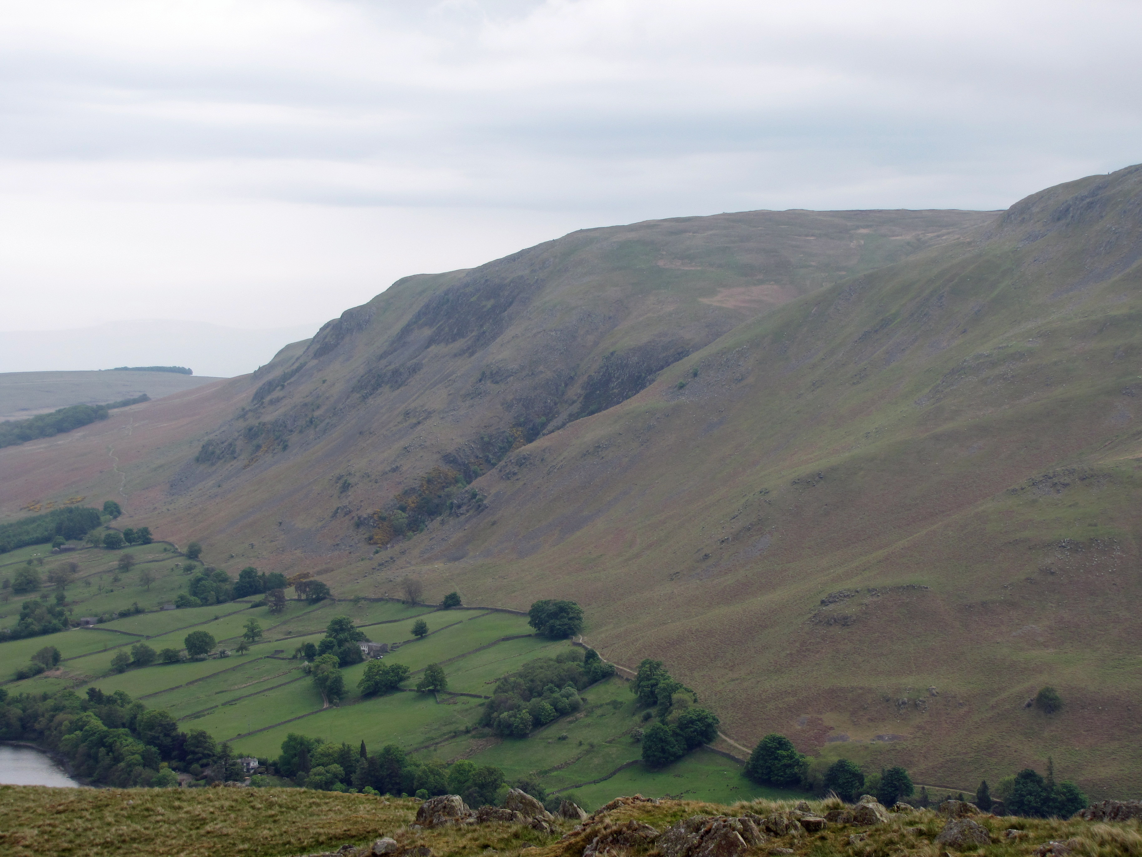
Arthur’s Pike serves as a fantastic introduction to the Far Eastern Fells, offering one of the finest vantage points over the northern reach of Ullswater. It’s a straightforward climb from Pooley Bridge, characterized by grassy slopes that give way to dramatic, craggy drops on its western face.
Key Statistics
Rank
356th Highest in Region
Parent Range
Far Eastern Fells
Prominence
?
4m
Nearest Town
Watermillock
Geology
Arthur's Pike is made of ancient volcanic rocks – layers of hardened volcanic ash (rhyolitic lapilli‑tuff) topped by tougher lava flows of dacite and andesite.
Classifications
Find It
Latitude
54.5784°N
Longitude
2.8358°W
Did You Know?
- •The fell’s western side features the impressive Arthur’s Pike Crags, a series of dark, tiered precipices that drop sharply toward Ullswater, contrasting with the smooth, rolling moorland found on its eastern slopes.
- •The summit is marked by two large stone cairns; however, the higher ground to the south hides traces of the ancient Roman road, which runs from Brougham to Ambleside along the High Street ridge.
- •While many local peaks have Old Norse roots, 'Pike' remains the traditional Cumbrian term for a pointed summit or prominent peak, and this particular pike serves as the final significant high point on the ridge before it descends to the Eamont valley.
- •A rewarding ascent follows the terrace path from Howtown, which contours around the fell’s waist, providing constant, uninterrupted views of the lake's bends before the final pull to the summit plateau.
- •The approach from the north is deceptively gentle, but the ground can be surprisingly enthusiastic about soaking your boots, reminding hikers that 'Far Eastern' often translates to 'unforgivingly boggy peat' in Cumbrian dialect.