Lake District
Bonscale Pike
524M
1719FT
About Bonscale Pike
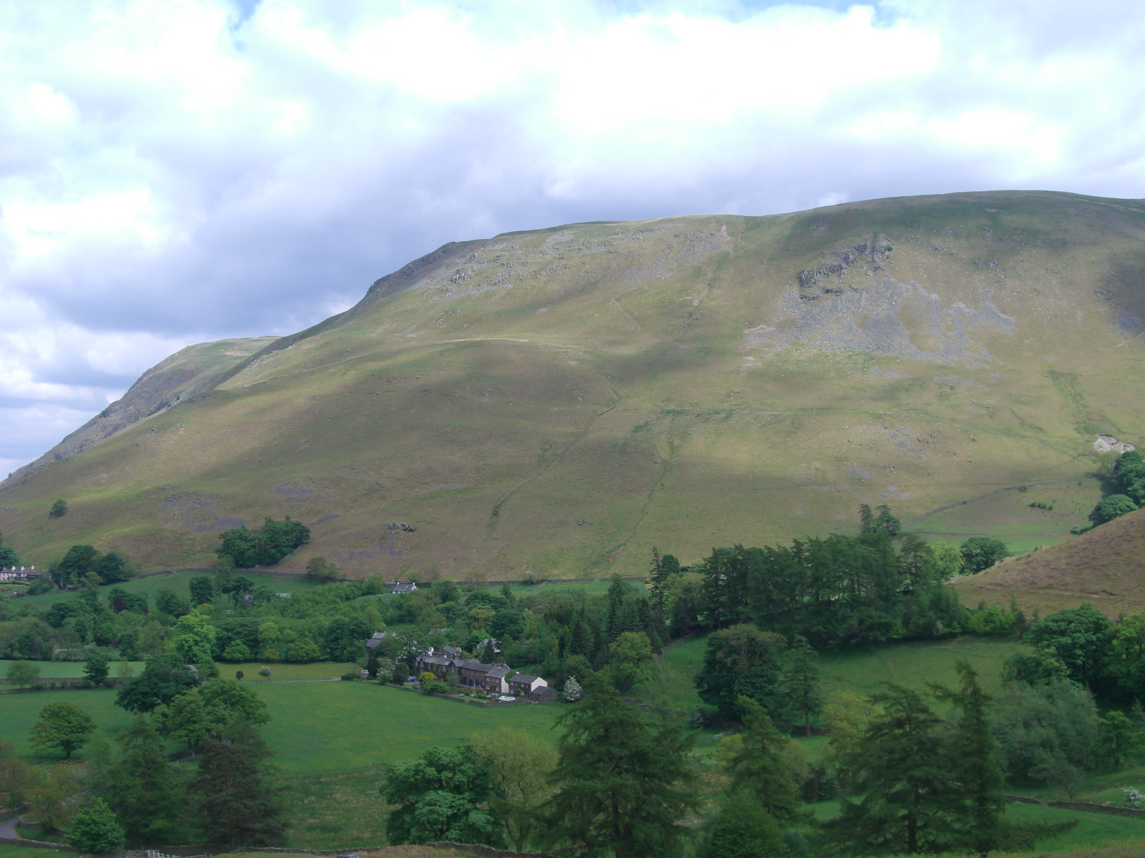
Bonscale Pike serves as a dramatic viewpoint over the northern reach of Ullswater. Known for its iconic stone pillars, it’s a short but steep pull up from Howtown. While the summit is a simple grassy plateau, the western edge offers some of the most spectacular aerial views in the Far Eastern Fells.
Key Statistics
Rank
372nd Highest in Region
Parent Range
Far Eastern Fells
Prominence
?
1m
Nearest Town
Watermillock
Geology
Bonscale Pike’s slopes are made of hardened volcanic ash (rhyolitic lapilli‑tuff) from the Whelter Knotts Tuff Formation, overlain by dacite rock of the Birker Fell Andesite Formation.
Classifications
Find It
OS Grid Reference
NY453200
Latitude
54.5730°N
Longitude
2.8469°W
Did You Know?
- •The fell is famous for the Bonscale Towers, two exceptionally well-built, tall stone columns situated on the edge of the crags to be clearly visible from the valley floor below.
- •The name 'Bonscale' likely has Old Norse roots, with 'scale' deriving from 'skáli', meaning a seasonal hut or shieling used by Norse settlers for summer upland grazing.
- •The western face drops precipitously toward Ullswater via Bonscale Scar, a series of broken crags that contrast sharply with the gentle, rolling moorland found on the eastern summit plateau.
- •While often overlooked in favor of more famous peaks, the view from the towers captures the full 'dog-leg' bend of Ullswater, providing a perspective that few other fells can match.
- •The direct ascent from Howtown is a relentless, calf-stretching zig-zag that makes you wonder if the path was designed by someone who harbored a personal grudge against knees.