Northern Ireland
Tievecrom
263M
863FT
About Tievecrom
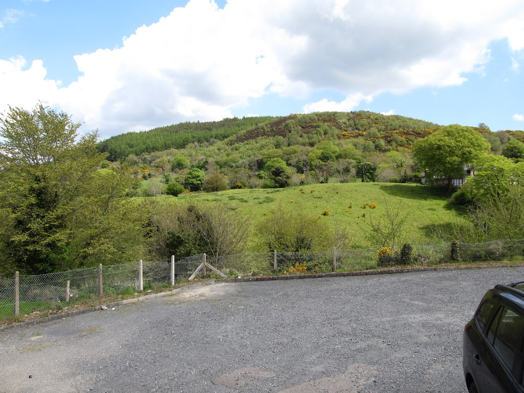
Rising abruptly above the village of Forkhill, this steep-sided hill marks the southeastern fringe of the Ring of Gullion. Though low in elevation, its status as a Marilyn reflects significant prominence. The heathery summit offers a commanding perspective over the volcanic landscape towards Slieve Gullion and south across the border into County Louth.
Key Statistics
Find It
OS Grid Reference
J023153
Latitude
54.0767°N
Longitude
6.4378°W
Did You Know?
- •The name is derived from the Irish 'Tigh Chrom', which translates as 'House of Crom', likely referring to the ancient pre-Christian deity Crom Dubh, who was associated with the harvest.
- •Geologically, the hill forms part of the Ring of Gullion, a spectacular ring dyke created by the collapse of a volcanic caldera roughly 60 million years ago.
- •The summit provides an exceptional vantage point for studying the border landscape, with the jagged peaks of the Cooley Mountains and Slieve Foye clearly visible to the south across the Irish border.
- •While nearby Slieve Gullion attracts the crowds, Tievecrom remains a quieter alternative, though its lack of formal paths means walkers must contend with thick heather and occasional boggy patches.
- •At just 263 metres, it is proof that the Marilyn classification cares strictly about prominence rather than whether a hill actually makes you feel short of breath.