Lake District
Thunacar Knott
723M
2372FT
About Thunacar Knott
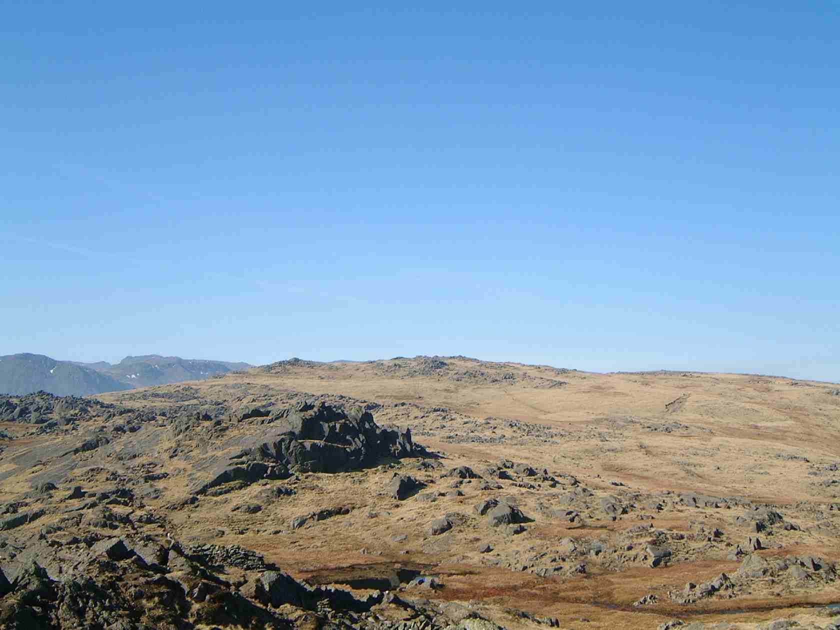
Tucked away on the high, peaty plateau between Pavey Ark and High Raise, Thunacar Knott is a rocky outcrop that many hikers bypass on their way to the Langdale Pikes. It’s a quiet, rugged spot that offers a rare, top-down perspective of the Pikes’ dramatic rear faces.
Key Statistics
Rank
137th Highest in Region
Parent Range
Central Fells
Prominence
?
28m
Nearest Town
Elterwater
Geology
You’re walking on layers of volcanic‑derived sandstone and breccia, mixed with re‑worked volcanic ash and rock fragments from ancient eruptions.
Find It
OS Grid Reference
NY279079
Latitude
54.4622°N
Longitude
3.1127°W
Did You Know?
- •The name is believed to stem from the Old Norse 'Thun-akr', which translates to 'Thun's acre' or 'Thunder field', highlighting the Norse influence on Cumbrian place names.
- •The fell features two distinct summits; the official top is a rocky outcrop with a small cairn, situated about 200 metres south of the lower, grassier northern rise.
- •Geologically, it is part of the Borrowdale Volcanic Group, primarily composed of hard-wearing dacitic lapilli-tuff, which accounts for its rugged, rocky appearance amidst the surrounding peat.
- •It provides an excellent vantage point for viewing the 'hidden' side of the Langdale Pikes, specifically the steep northern face of Pavey Ark and the tarn nestled below it.
- •The section between the Knott and High Raise is a legendary 'boot-swallower,' often requiring a zig-zagging dance to avoid the deep, hidden mosses that thrive on this high-altitude plateau.