Wales
Tarren y Gesail
667M
2188FT
About Tarren y Gesail
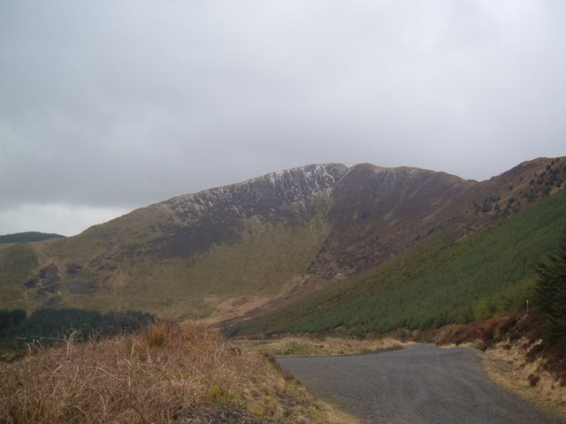
Often ignored in favor of its celebrity neighbor Cadair Idris, Tarren y Gesail is a delightfully quiet ridge offering spectacular views of Cardigan Bay. At exactly 666.9 meters, it’s just high enough to feel like a proper mountain workout without the devilish crowds found further north.
Key Statistics
Rank
141st Highest in Wales
Parent Range
Snowdonia
Prominence
?
465.4m
Nearest Town
Whaley Bridge
Geology
Old Red Sandstone
Find It
OS Grid Reference
SH710058
Latitude
52.6346°N
Longitude
3.9076°W
Did You Know?
- •It forms the backbone of the Tarrens, a sub-group of the Cadair Idris massif that stretches from Tal-y-llyn Lake all the way to the Dyfi estuary.
- •The mountain's eastern slopes overlook the historic Bryn Eglwys slate quarry, the site that originally justified the construction of the Narrow Gauge Talyllyn Railway in 1865.
- •The summit ridge provides a rare panoramic perspective where you can see the Plynlimon range to the south and the sharp profile of Cadair Idris to the north.
- •Despite being classified as a Marilyn, it remains one of the 'forgotten' peaks of Snowdonia, making it the perfect choice for hikers who find other people mildly offensive.
- •With a recorded elevation of 666 meters, it is technically the 'Peak of the Beast,' though the only thing truly hellish here is the calf-shredding steepness of the initial ascent from Abergynolwyn.