Lake District
Swirl How
802M
2633FT
About Swirl How
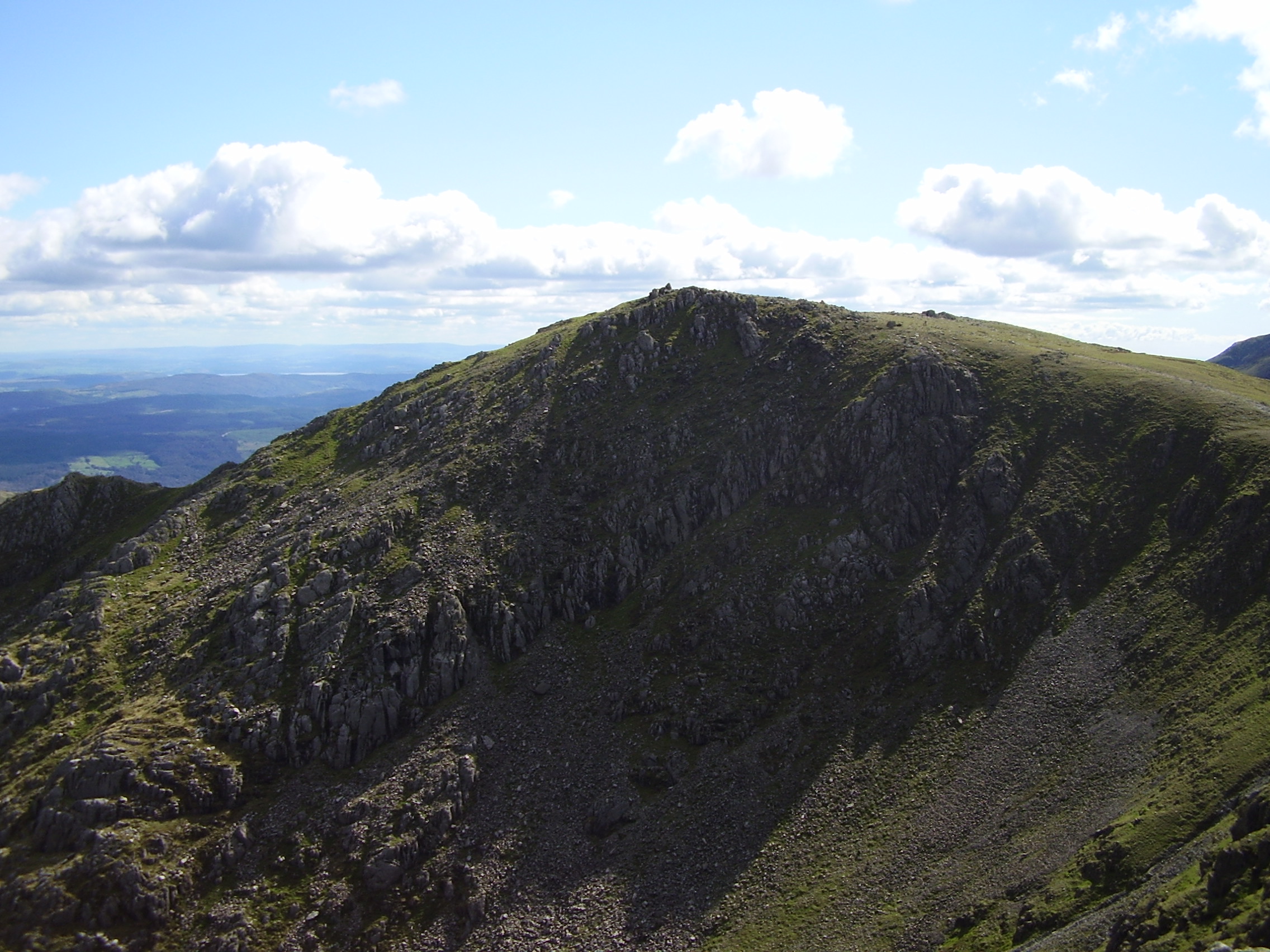
Swirl How is the central hub of the Coniston Fells, offering a more rugged, mountainous feel than the nearby Old Man. Most hikers approach via the rocky Prison Band or the airy ridge from Great Carrs, enjoying views that stretch from Morecambe Bay to the Scafells.
Key Statistics
Rank
60th Highest in Region
Parent Range
Southern Fells
Prominence
?
119m
Nearest Town
Coniston
Geology
Swirl How sits on layers of volcanic ash; the lower layer is a rhyolite‑rich lapilli‑tuff and the upper a darker, Andesitic ash.
Classifications
Find It
OS Grid Reference
NY272005
Latitude
54.3953°N
Longitude
3.1215°W
Did You Know?
- •Historically, Swirl How marked the highest point in the County Palatine of Lancashire, a title it contested with the Old Man of Coniston until the 1974 administrative shift into Cumbria.
- •The name likely derives from the Old Norse 'sviri' (neck) and 'haugr' (hill), aptly describing its position as the narrow 'neck' connecting several major ridges in the Southern Fells.
- •The summit features a massive, well-built cairn that serves as a vital navigational landmark, as it sits at the junction of three major ridges radiating toward Wrynose, Coniston, and Seathwaite.
- •To the east lies Levers Water, a dramatic corrie tarn sitting at the foot of the fell's crags that was significantly enlarged in the 1700s to provide water for the Coniston copper mines.
- •Navigating the 'Prison Band' ridge in a typical Lakeland downpour provides a great opportunity to test your insurance policy, as the wet, shattered rock turns a standard hike into a precarious game of mountain Twister.