Lake District
Seathwaite Fell
601M
1972FT
About Seathwaite Fell
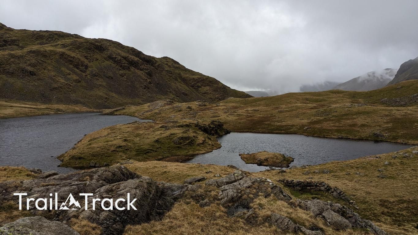
Seathwaite Fell is often overlooked by hikers racing toward Scafell Pike, but its rugged, multi-summited plateau provides some of the best views of the Styhead Pass. It’s a rocky, complex landscape that requires careful navigation, especially where the ground turns notoriously boggy between the outcrops.
Key Statistics
Rank
268th Highest in Region
Parent Range
Southern Fells
Prominence
?
14m
Nearest Town
Borrowdale
Geology
You’re walking on layers of volcanic ash, sand, broken rock fragments, and a bit of thick lava, all stacked together from ancient eruptions.
Classifications
Find It
Latitude
54.4810°N
Longitude
3.1912°W
Did You Know?
- •The name Seathwaite is rooted in Old Norse, combining sef (sedges) and thveit (clearing), which accurately describes the damp, marshy valley floor at the fell's base.
- •Alfred Wainwright designated the 601-meter northern point as the summit because of its commanding position over Borrowdale, even though the ground continues to rise toward the Scafell massif to the south.
- •The fell is formed from the Borrowdale Volcanic Group, specifically hard dacite and tuffs, which creates the chaotic, craggy profile that makes the plateau difficult to cross in a straight line.
- •Nearby Sprinkling Tarn is famously cited as one of the wettest places in England, receiving over 5,000mm of rainfall annually, making the fell a primary catchment for the River Derwent.
- •The summit is less of a peak and more of a navigational puzzle; in low cloud, the fell specializes in leading hikers into thigh-deep bogs while they search for the correct pile of stones.