Lake District
Rossett Pike
651M
2135FT
About Rossett Pike
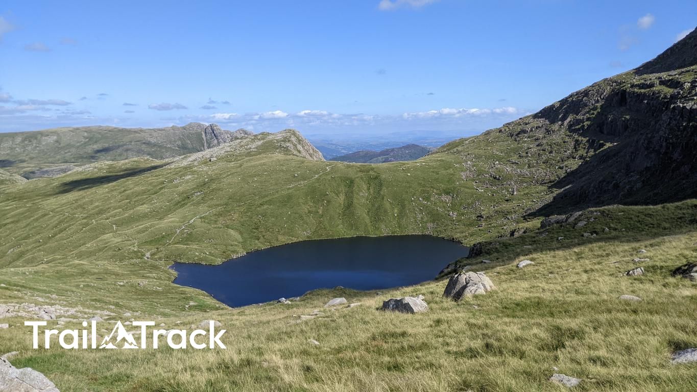
Standing at the head of Mickleden, this stony summit serves as the rocky sentinel of the Rossett Gill pass. While often overlooked by those rushing toward Bowfell or Esk Hause, it offers a refined, central perspective of the Langdale Pikes and the deep trough of Great Langdale below.
Key Statistics
Rank
211th Highest in Region
Parent Range
Southern Fells
Prominence
?
42
Nearest Town
Borrowdale
Geology
You’re walking across layers of hardened volcanic ash and rocky debris. These slopes were shaped by explosive eruptions and compressed volcanic sand.
Find It
Latitude
54.4579°N
Longitude
3.1598°W
Did You Know?
- •The name likely derives from the Old Norse 'hross', meaning horse, and 'setr', meaning a pasture or shieling, suggesting these high slopes were once used as summer grazing for Norse livestock.
- •Alfred Wainwright considered the fell’s importance to be more topographical than physical, noting its role as the vital junction for walkers moving between the Langdale valley and the high central massif of the Scafells.
- •The summit offers a unique 'end-on' perspective of the Langdale Pikes, providing a clear view of the distinct profiles of Pike of Stickle and Harrison Stickle across the void of the Mickleden valley.
- •The modern path up Rossett Gill follows the line of a historic packhorse route; the older, more direct 'staircase' path to the south of the gill is notoriously loose and steep, often avoided by modern walkers in favour of the engineered zig-zags.
- •It is a hill that suffers slightly from its own hospitality; being the easiest 'extra' Wainwright to bag on the way to the higher fells, its summit cairn has likely seen more passing traffic than many peaks twice its size.