Lake District
Nethermost Pike
891M
2924FT
About Nethermost Pike
Often bypassed by hikers rushing toward Helvellyn, Nethermost Pike offers some of the range's most dramatic views without the crowds. Its vast, flat plateau contrasts sharply with the rugged eastern crags, making it a reliable navigational waypoint even when the mist rolls in across the ridge.
Key Statistics
Rank
17th Highest in Region
Parent Range
Eastern Fells
Prominence
?
29.1m
Nearest Town
Patterdale
Geology
You're standing on layers of hardened volcanic ash and broken volcanic rock fragments that were once blown into the landscape by ancient eruptions.
Find It
Latitude
54.5190°N
Longitude
3.0154°W
Did You Know?
- •The eastern slopes are a designated Site of Special Scientific Interest (SSSI), home to some of England’s rarest arctic-alpine flora, including the purple saxifrage, which thrives on the damp, inaccessible ledges of the Borrowdale Volcanic rock.
- •Lead mining was a significant 19th-century industry on the fell; hikers can still locate the remains of the Eagle Crag mine workings and old levels cut into the eastern face overlooking Grisedale.
- •Despite being the second-highest peak in the Helvellyn range at 891 metres, its name is an old relative term; 'Nethermost' simply means 'lowest' or 'furthermost,' likely referring to its position southernly from the main summit of Helvellyn.
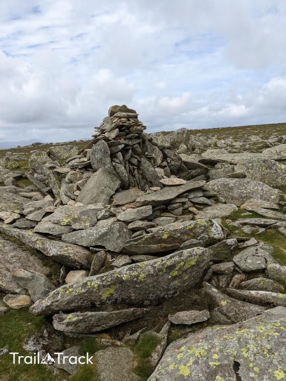
- •The summit is marked by a modest cairn on a sprawling, featureless plateau that can be surprisingly disorienting in low visibility, often requiring a quick compass check to ensure you don't accidentally wander off toward the wrong valley.
- •While it’s technically a separate Wainwright, many hikers treat it as a glorified speed bump on the way to Helvellyn, often crossing the summit without realizing they've just ticked off the second-highest point in the entire range.