Lake District
Nab Scar
450M
1476FT
About Nab Scar
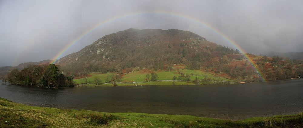
Standing as the steep, southern prow of the Fairfield Horseshoe, this Wainwright offers a sudden and rewarding climb from Grasmere. Its terrain is characterized by craggy outcrops and a well-trodden stone path, providing an exceptional vantage point over the shimmering waters of Rydal Water and Grasmere lake.
Key Statistics
Rank
509th Highest in Region
Parent Range
Eastern Fells
Prominence
?
2m
Nearest Town
Rydal
Geology
You are walking over layers of ancient volcanic ash, hardened lava, and compressed rock fragments. These rugged foundations formed during a period of explosive volcanic activity.
Classifications
Find It
OS Grid Reference
NY355072
Latitude
54.4564°N
Longitude
2.9958°W
Did You Know?
- •The name derives from the Old Norse 'nabbi', meaning a projecting point or peak, and 'sker', referring to a steep cliff or stony outcrop, perfectly describing its profile above the Vale of Grasmere.
- •Alfred Wainwright included it as a distinct fell despite it being a shoulder of Heron Pike, largely because the steep 1,000-foot climb from the valley floor gives it a sense of independent stature.
- •The summit offers a unique perspective on the central fells, with a particularly clear sightline across the valley to the famous 'Lion and the Lamb' rock formation on Helm Crag.
- •On the western slopes lies Dockey Tarn, one of the smallest named tarns on Ordnance Survey maps, though it is known to disappear entirely during dry spells, leaving nothing but a grassy depression.
- •The stone-pitched path leading up from Rydal is a marvel of upland engineering, though its unrelenting gradient serves as a sharp wake-up call for those just beginning the long Fairfield Horseshoe circuit.