Wales
Mynydd Ton
539M
1768FT
About Mynydd Ton
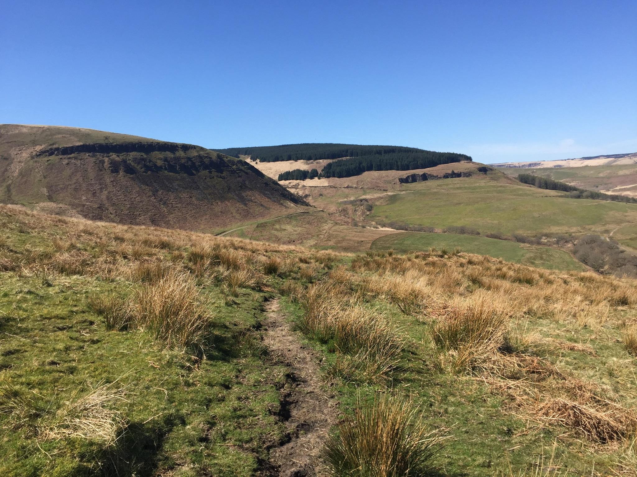
Perched above the Rhondda Valley, Mynydd Ton is a classic South Wales upland that looks down on Ystrad with stoic indifference. It’s less of a jagged peak and more of a lofty, windswept plateau, perfect for hikers who enjoy dramatic escarpments and the evocative scent of wet bracken.
Key Statistics
Rank
405th Highest in Wales
Parent Range
Brecon Beacons
Prominence
?
92m
Nearest Town
Porlock
Geology
Ordovician Volcanics
Find It
OS Grid Reference
SS947939
Latitude
51.6340°N
Longitude
3.5229°W
Did You Know?
- •The fell marks a significant section of the Rhondda’s ridgeline, providing a natural barrier that historically funneled the industrial bustle of the coal mines into the tight valley floors below.
- •Bronze Age burial cairns are scattered across the surrounding plateaus, proving that humans have been dragging themselves up these steep slopes for four thousand years without the benefit of Gore-Tex.
- •Thanks to its proximity to the Valley Lines rail network, you can enjoy a high-altitude game of 'I Spy' with the Cardiff-bound commuter trains while catching your breath.
- •The summit is part of a massive Pennant Sandstone formation, a rock so stubborn and hard-wearing that it effectively outlived the entire South Wales coal industry.
- •The local sheep have mastered a specific look of silent judgment, usually reserved for the exact moment you realize the 'firm-looking' grass you just stepped on is actually a disguised portal to a peat bog.