Wales
Mynydd Machen
363M
1192FT
About Mynydd Machen
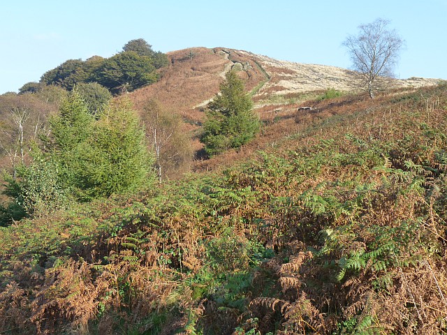
At 363 meters, Mynydd Machen is the local giant of the Rhymney Valley, offering a brisk ascent for those who find actual mountains a bit too 'pointy.' It’s a sturdy, grit-and-grass hill that provides cracking views of the Bristol Channel on a rare clear day.
Key Statistics
Rank
733rd Highest in Wales
Parent Range
Brecon Beacons
Prominence
?
112.6m
Nearest Town
Watchet
Geology
Ordovician Volcanics
Nearby Fells
Find It
OS Grid Reference
ST223900
Latitude
51.6035°N
Longitude
3.1233°W
Did You Know?
- •The mountain marks the historic boundary between Monmouthshire and Glamorgan. It serves as a natural watchtower over the Rhymney River, guarding the southern entrance to the industrial valleys.
- •The summit is scattered with large sandstone boulders deposited during the last ice age. While geologists talk about glacial movement, local folklore prefers the idea of giants using the mountain for target practice.
- •A prominent telecommunications mast crowns the peak, acting as a convenient lighthouse for hikers. It ensures you have excellent signal to check the weather forecast you should have looked at before starting.
- •In the village below, the Machen boules team competes in the top tier of the Gwent league. One could argue that the entire mountain is just a very steep, very inconveniently shaped petanque court.
- •The summit plateau is so deceptively flat that you will spend ages wandering around looking for the 'true' top. You’ll eventually claim a small mound as your victory point, only to see a sheep standing on a slightly higher one ten yards away.