Lake District
Mellbreak North Top
509M
1669FT
About Mellbreak North Top
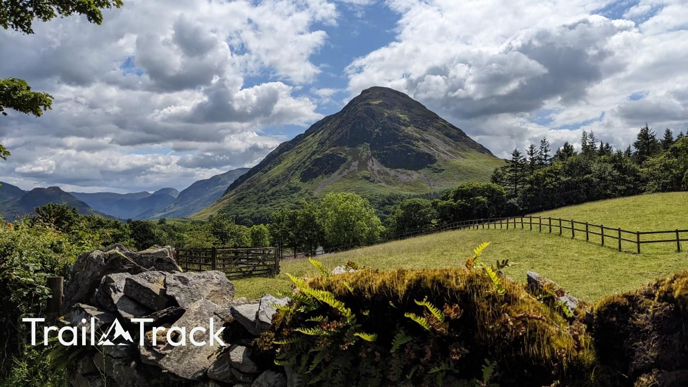
Reaching the North Top via the direct 'nose' from Loweswater involves a relentless, scree-filled scramble that quickly tests your lungs and boots. Once up, the views over Crummock Water are arguably the best in the Western Fells, framing the High Stile range perfectly.
Key Statistics
Rank
401st Highest in Region
Parent Range
Western Fells
Prominence
?
63.3
Nearest Town
Loweswater
Geology
You're walking on the Kirk Stile Formation, which is made of mudstone and siltstone.
Find It
Latitude
54.5632°N
Longitude
3.3268°W
Did You Know?
- •Mellbreak is an unusual 'island' fell, separated from its neighbours by the deep, marshy troughs of Mosedale to the west and the waters of Crummock to the east.
- •The name is likely derived from a combination of the Cumbric word 'moel', meaning a bare hill, and the Old Norse 'brekka', meaning a slope or hill.
- •The western slopes of the fell above Mosedale contain evidence of historic iron ore mining, with several old levels and spoil heaps still visible to those traversing the lower paths.
- •While the South Top is technically the higher summit at 512m, Alfred Wainwright famously considered this North Top the more important peak due to its superior vantage point.
- •The ascent via the northern 'nose' is essentially a scree-run in reverse; for every two steps you take up the loose slate, expect to slide one step back as the fell tries to return you to the pub.