Scotland
Meall a' Chrasgaidh
934M
3066FT
About Meall a' Chrasgaidh
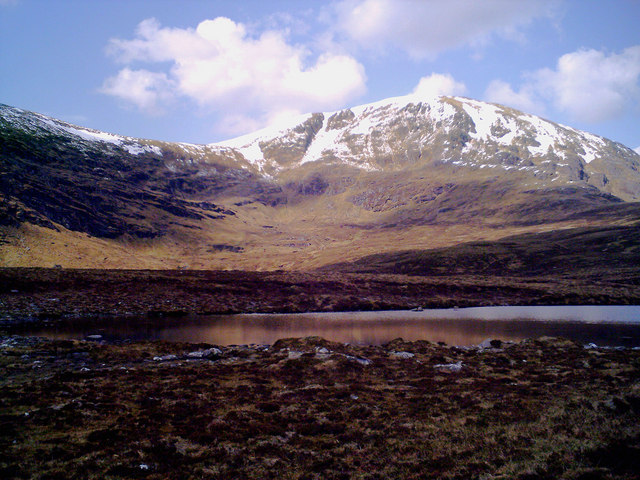
Often the first peak tackled on a traverse of the northern Fannichs, this Munro presents a steep, grassy ascent from the Dirrie More. While its broad, stony plateau is less dramatic than neighbouring Sgùrr nan Clach Geala, it offers a grandstand view across the deep trough of Loch a' Mhadaidh.
Key Statistics
Rank
29th Highest in Region
Parent Range
North West Highlands
Prominence
?
115m
Nearest Town
Data coming soon
Geology
You are walking on hard, sandy rocks and coarse, layered stones that were once ancient layers of sand and mud.
Find It
OS Grid Reference
NH184733
Latitude
57.7129°N
Longitude
5.0487°W
Did You Know?
- •The name Meall a' Chrasgaidh translates from Scottish Gaelic as 'Hill of the Crossing,' likely referring to its position near a historic pass used by travellers moving between Loch Broom and the interior Fannich Forest.
- •It is most frequently climbed as part of a three-Munro circuit starting from the A835 near Braemore, usually paired with the higher peaks of Sgùrr nan Clach Geala and Sgùrr nan Each.
- •The summit provides an exceptional perspective of the massive eastern corrie of Sgùrr nan Clach Geala, showcasing some of the most impressive rock architecture in the North West Highlands.
- •The descent southwards towards the Bealach a' Chreagain is notably saturated, featuring peat hags that remain stubbornly boggy even during relatively dry spells.
- •As the northernmost Munro of the group, it serves as the initial gatekeeper to the range, though its gentle grassy slopes may lull walkers into a false sense of security before the rockier ridges further south.