Lake District
Longlands Fell
483M
1585FT
About Longlands Fell
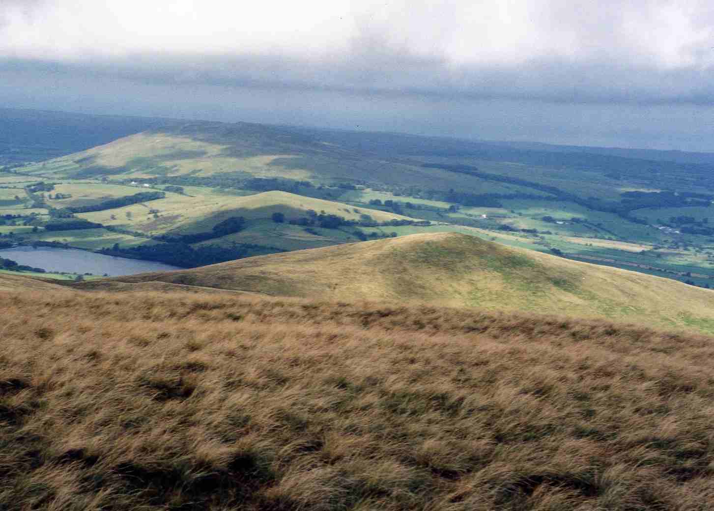
Situated on the northern fringe of the Lake District near Uldale, this smooth, grassy dome marks the peaceful limit of the fells. One of the most northerly Wainwrights, it offers an easy-going ascent with expansive views stretching across the Solway Firth towards the distant hills of Dumfries and Galloway.
Key Statistics
Rank
453rd Highest in Region
Parent Range
Northern Fells
Prominence
?
37m
Nearest Town
Ireby and Uldale
Geology
The ground beneath you is a blend of volcanic rocks and layers of hardened mud and silt.
Classifications
Find It
OS Grid Reference
NY275354
Latitude
54.7084°N
Longitude
3.1253°W
Did You Know?
- •The name is derived from the Old English 'lang' and 'land', referring to the long strips of cultivated ground in the valley below near the hamlet of Longlands.
- •Alfred Wainwright noted the fell’s gentle character in his Pictorial Guides, remarking that while it lacks traditional mountain attributes, it provides 'a simple walk on a carpet of velvet.'
- •Despite its modest height, the summit offers a clear, unobstructed look at the 'Back o' Skiddaw' fells, specifically the massive northern slopes of Brae Fell and Great Sca Fell.
- •It serves as a popular starting point for a circular 'Uldale Fells' round, typically linking with Brae Fell, Meal Fell, and Great Cockup via the broad, high ridges.
- •The summit is so remarkably devoid of stone that any walker wishing to add to the modest summit cairn would likely have to carry their own rocks up from the valley floor.