Lake District
Illgill Head
609M
1997FT
About Illgill Head
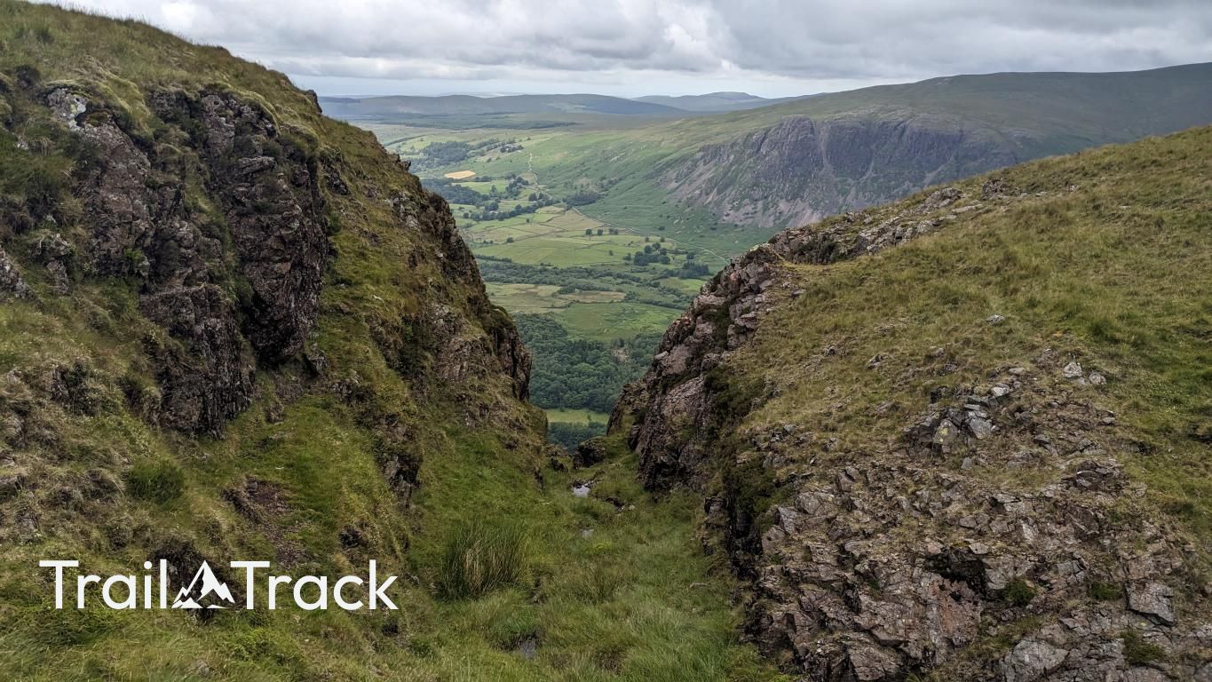
Illgill Head offers one of the Lake District's most dramatic vantage points, sitting directly atop the famous Wasdale Screes. While the summit is a relatively flat, grassy plateau, the western edge drops away precipitously toward Wastwater, providing unparalleled views of England’s deepest lake and the Scafell range.
Key Statistics
Rank
263rd Highest in Region
Parent Range
Southern Fells
Prominence
?
312.2m
Nearest Town
Boot
Geology
Illgill Head rests on layers of volcanic ash and fragmented lava, with pockets of fine-grained microgranite that solidified deep underground.
Find It
Latitude
54.4329°N
Longitude
3.2826°W
Did You Know?
- •The fell is renowned for the Wastwater Screes, a massive collection of unstable, broken rock that plunges nearly 2,000 feet from the summit ridge directly into the lake.
- •Its name is derived from the Old Norse words 'illr', meaning bad or difficult, and 'gill', referring to the steep-sided ravines that scar its western face.
- •Because Wastwater is England’s deepest lake, the fell’s sheer western slopes actually continue for another 258 feet below the water's surface to reach the lake floor.
- •Most hikers reach the summit via a straightforward ridge walk from Whin Rigg, which is much kinder to the knees than attempting the notoriously ankle-breaking boulder field along the lake's edge.
- •The summit is so deceptively broad and grassy that you could practically host a football match on top, provided you don't over-egg a clearance and send the ball on a 1,500-foot vertical trip into the water.