Lake District
Howes
583M
1913FT
About Howes
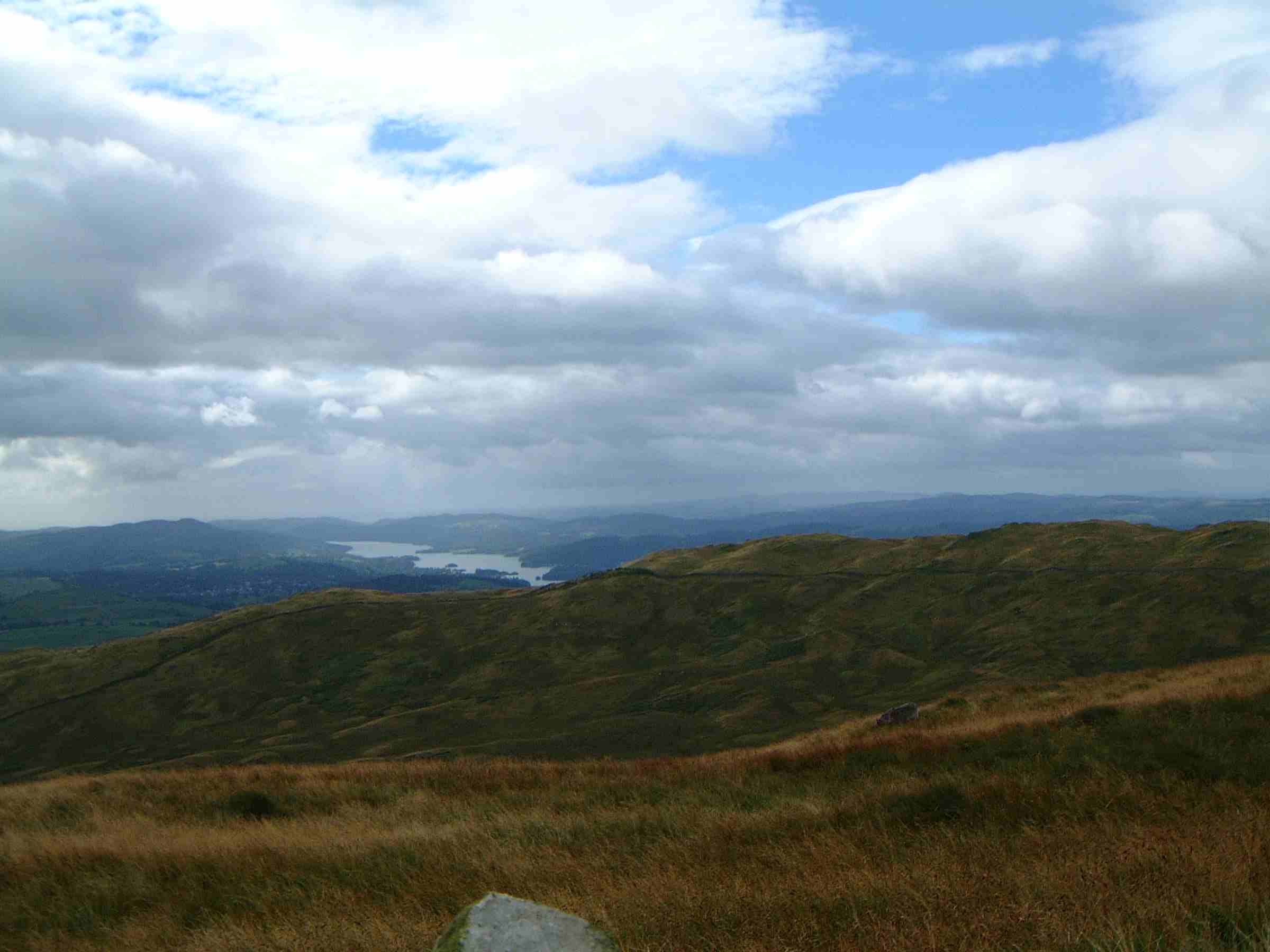
Sitting on the quiet eastern fringes of the Lake District near Shap, this grassy upland offers a tranquil escape from the busier central peaks. Characterised by broad, peat-happed ridges and views overlooking the Wet Sleddale reservoir, it provides an excellent perspective on the rugged eastern faces of the High Street range.
Key Statistics
Rank
286th Highest in Region
Parent Range
Far Eastern Fells
Prominence
?
3m
Nearest Town
Shap Rural
Geology
This fell is built from layers of volcanic ash, sandy sediments, and hardened lava. You are walking over a landscape forged by ancient volcanic power.
Classifications
Find It
OS Grid Reference
NY498103
Latitude
54.4863°N
Longitude
2.7761°W
Did You Know?
- •The name originates from the Old Norse word haugr, which translates to a hill, mound, or heap. In Cumbrian topography, it typically refers to a prominent natural rise, though the term was also frequently used for ancient burial mounds.
- •Alfred Wainwright included this summit in his guide to The Outlying Fells of Lakeland, grouping it into a circular walk he called the Wet Sleddale Horseshoe. He particularly valued the area for its 'wonderful peace,' away from the more frantic tourist hubs of the national park.
- •From the summit, the view west captures the dramatic profile of Branstree and the head of Mosedale. Looking east on a clear day, the landscape opens up across the Eden Valley to the long, dark silhouettes of the North Pennines, including Cross Fell.
- •The surrounding plateau is notorious for its extensive peat hags and hidden mires. Reaching the summit with entirely dry socks is generally considered either a sign of a very long drought or a feat of navigational genius.