Lake District
High Tove
515M
1690FT
About High Tove
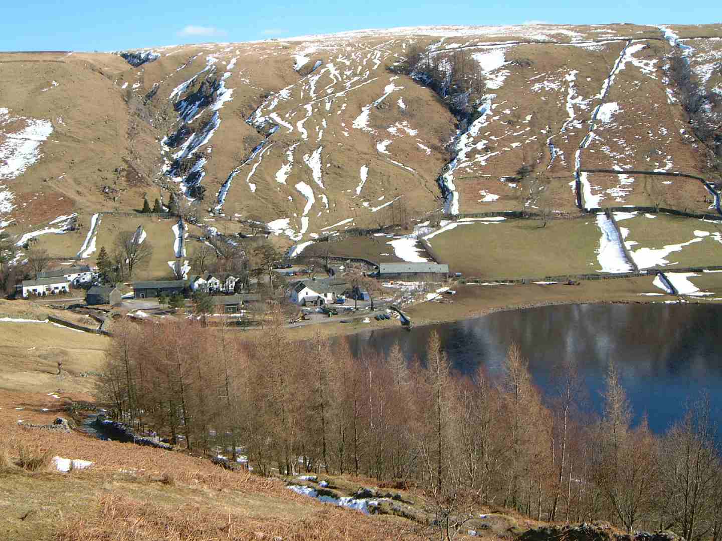
Sitting on the central ridge between Borrowdale and Thirlmere, this unassuming Wainwright is notorious for its saturated peat hags. While the terrain is often pathless and heavy going, the summit offers a sprawling perspective across the Thirlmere valley toward the Helvellyn range and the high fells of the Scafell massif.
Key Statistics
Rank
389th Highest in Region
Parent Range
Central Fells
Prominence
?
16m
Nearest Town
St. John's Castlerigg and Wythburn
Geology
High Tove is built from layers of hardened volcanic ash and lava flows. Some of these rocks even contain tiny garnet crystals.
Classifications
Find It
OS Grid Reference
NY289165
Latitude
54.5389°N
Longitude
3.1002°W
Did You Know?
- •The name likely derives from the Old Norse 'topt', meaning a clearing or the site of a building, suggesting this high moorland was historically linked to specific grazing allotments or seasonal dwellings.
- •Alfred Wainwright had little praise for the local terrain, warning walkers in his Pictorial Guides that the ridge connecting High Tove to High Seat is a 'wilderness of peat hags' and among the most saturated ground in the Lake District.
- •The fell serves as a central link on the high crossing between the quiet hamlet of Watendlath and the Thirlmere shore, though it is most frequently visited by those ticking off the Central Fells.
- •From the summit, the view west provides a grand profile of the Scafell range and Great Gable, while the eastern vista offers a rare perspective of Thirlmere’s entire length, framed by the steep slopes of Helvellyn and Nethermost Pike.
- •Navigating the summit plateau often requires the agility of a long jumper; it is one of the few places in Cumbria where the map suggests a path, but the reality is frequently more akin to an amphibious assault.