Lake District
High Spy
653M
2142FT
About High Spy
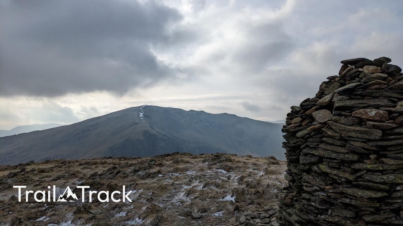
High Spy is the high point of the ridge separating Newlands and Borrowdale. It’s a broad, easy-to-navigate plateau marked by an exceptionally well-built summit cairn, offering some of the best aerial views of Derwent Water and the surrounding northern fells.
Key Statistics
Rank
209th Highest in Region
Parent Range
North Western Fells
Prominence
?
147.8
Nearest Town
Seatoller
Geology
You are walking on a blend of volcanic and sedimentary rocks, mainly andesite and volcanic sandstones, with layers of mudstone that together form High Spy's rocky foundation.
Classifications
Find It
Latitude
54.5356°N
Longitude
3.1851°W
Did You Know?
- •The fell’s eastern flanks are home to the extensive remains of Rigghead Quarry, where miners once extracted high-quality slate and lived in rudimentary subterranean hovels near the workings.
- •Geologically, High Spy sits on the boundary of the Skiddaw Slates and the Borrowdale Volcanics, resulting in the contrast between its smooth western slopes and the craggy, dramatic cliffs of Eel Crags to the east.
- •The name 'Spy' is thought to originate from the Old Norse word 'spei', meaning a lookout; its position provides an unobstructed view down the length of both the Newlands and Borrowdale valleys.
- •Near the summit lies a collection of small, shallow pools known as the High Spy Tarns, which are a rare example of high-altitude wetland habitat in the North Western Fells.
- •The massive summit cairn is so meticulously constructed it looks more like a defensive turret than a pile of stones, providing a welcome windbreak for hikers who realized too late that the ridge is a natural wind tunnel.