Lake District
High Rigg SE Top
339M
1112FT
About High Rigg SE Top
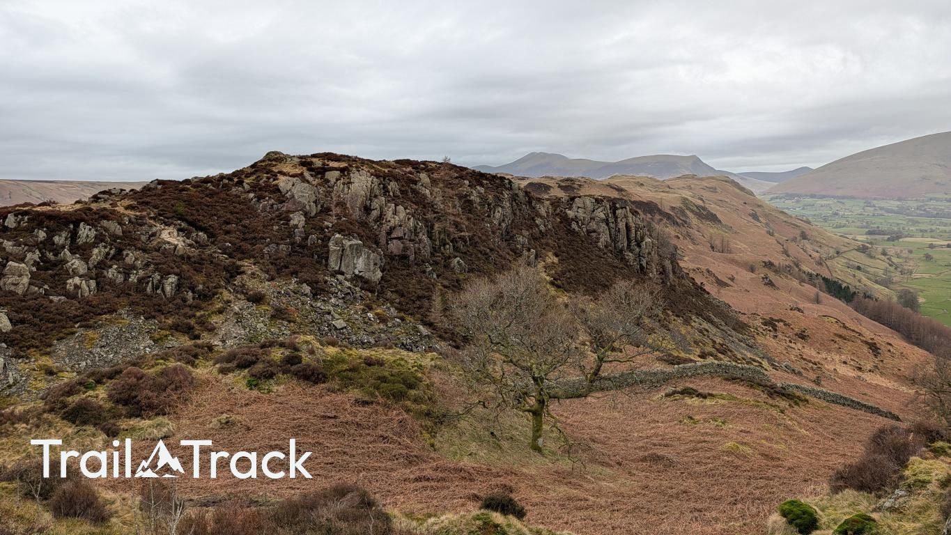
This modest summit sits at the southern end of the undulating High Rigg ridge, offering an intimate perspective of St John’s in the Vale. The terrain is classic Lakeland low fell: a delightful tangle of short grass, heather, and rocky outcrops, providing an excellent vantage point overlooking the Thirlmere valley.
Key Statistics
Rank
686th
Parent Range
Central Fells
Prominence
?
35m
Nearest Town
Threlkeld
Geology
Borrowdale Volcanic Group
Find It
Latitude
54.5827°N
Longitude
3.0695°W
Did You Know?
- •The name derives from the Old Norse 'hryggr', meaning a ridge or the back of an animal, which accurately describes the long, whale-backed profile this fell presents to the surrounding valleys.
- •While the main summit of High Rigg is a Wainwright, this southeastern top is specifically classified as a Synge, a list of Lake District fells compiled by Tim Synge based on a prominence of at least 30 metres.
- •From this position, you gain a dramatic, head-on view of the Helvellyn range’s northern ramparts, with the massive western slopes of Great Dodd and Watson's Dodd dominating the skyline across the vale.
- •Alfred Wainwright famously likened the parent ridge of High Rigg to a 'miniature mountain range' due to its complex, undulating terrain that feels far more substantial than its modest height suggests.
- •The ridge is so densely packed with rocky knolls and false summits that identifying this specific top often requires more navigational focus than many fells twice its height.