Lake District
Hartsop Dodd
619M
2031FT
About Hartsop Dodd
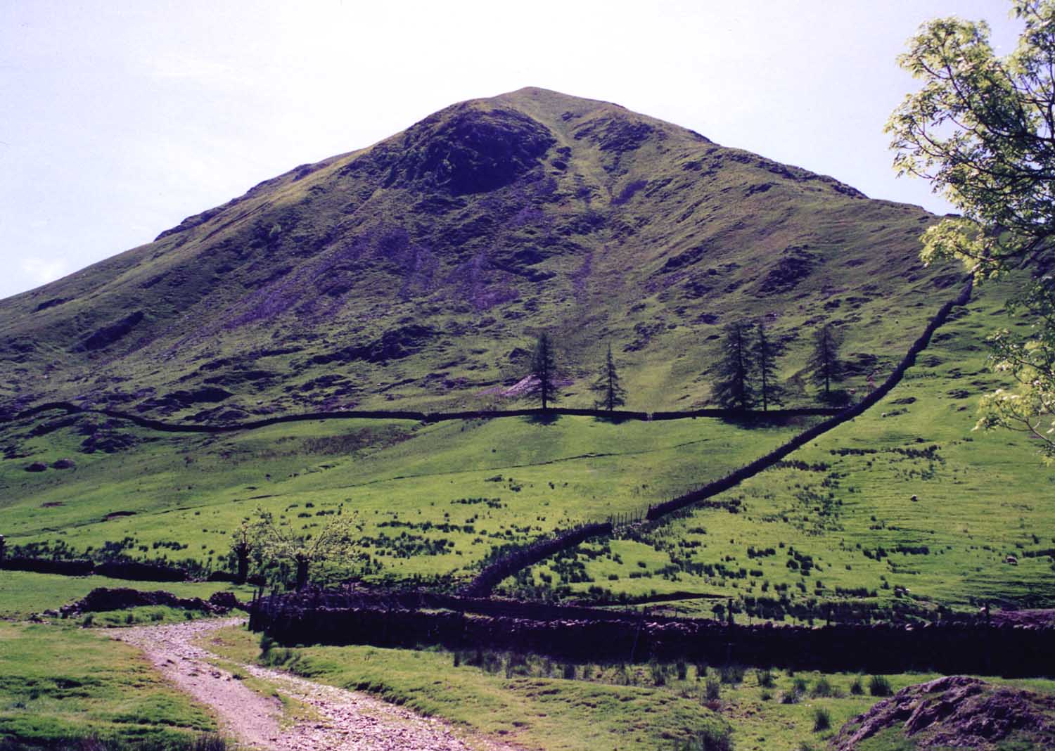
Rising sharply like a green prow above Hartsop village, this Wainwright offers a notoriously steep direct ascent. While the climb is punishingly vertical, the ridge quickly levels out, providing a dramatic aerial perspective over Brothers Water and a straightforward high-level link toward the craggy slopes of Caudale Moor.
Key Statistics
Rank
247th Highest in Region
Parent Range
Far Eastern Fells
Prominence
?
23m
Nearest Town
Patterdale
Geology
You are walking over an ancient volcanic landscape. These slopes are formed from layers of solidified lava flows and compressed volcanic ash.
Find It
OS Grid Reference
NY411118
Latitude
54.4985°N
Longitude
2.9104°W
Did You Know?
- •The name derives from the Old English 'hart' (a male deer) and 'hop' (a small, enclosed valley), combined with 'dodd', a Cumbrian term typically used for a rounded summit or a spur branching off a higher fell.
- •Alfred Wainwright famously noted the unrelenting nature of the climb from the valley floor, observing that the 'direct' route follows a remarkably straight dry stone wall that serves as an uncompromising guide and a useful handhold for the exhausted climber.
- •The summit provides a spectacular, foreshortened view of Brothers Water directly below, framed by the steep flanks of Gray Crag and the massive bulk of the Helvellyn range across the Patterdale valley.
- •While classified as a separate summit, the fell is geographically a terminal spur of Caudale Moor; its 619-metre height just manages to clear the 2,000-foot threshold required for Nuttall status.
- •The ascent from the village is so consistently steep that it is often joked that one can practically tie their shoelaces without having to bend down.