Lake District
Green Crag
528M
1732FT
About Green Crag
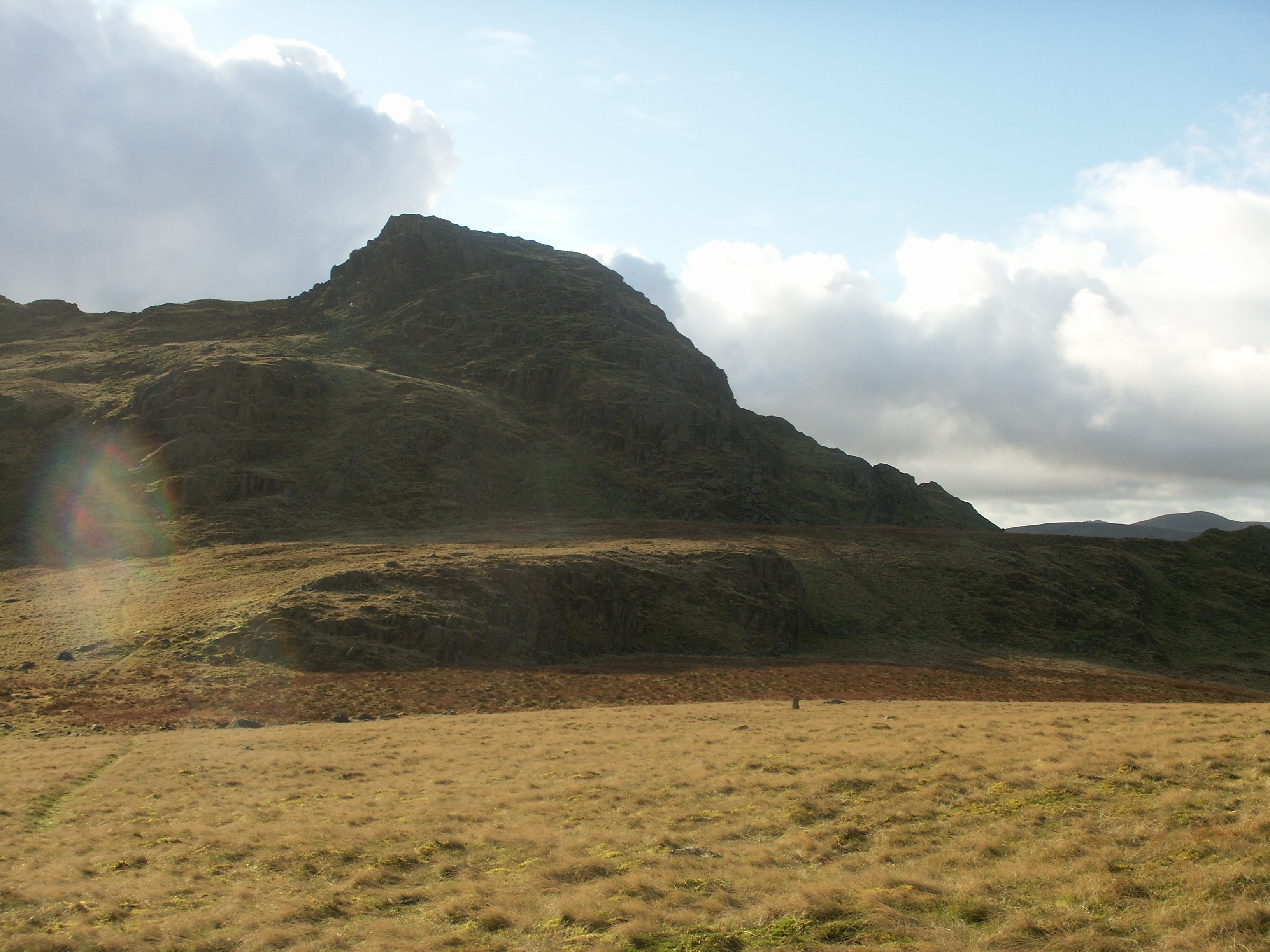
Perched on the steep northern slopes of High Crag, this rugged shoulder offers a striking vantage point directly over Buttermere. Primarily a rocky outcrop of the Western Fells, it provides a more intimate perspective of the valley floor than the higher summits, making it a worthy detour for Synge baggers.
Key Statistics
Rank
363rd Highest in Region
Parent Range
Western Fells
Prominence
?
33m
Nearest Town
Buttermere
Geology
You are standing on ancient solidified lava and shattered volcanic debris. These tough rocks were forged during explosive eruptions to create the rugged crags beneath your feet.
Find It
OS Grid Reference
NY202130
Latitude
54.5066°N
Longitude
3.2332°W
Did You Know?
- •The name is purely descriptive, combining the Middle English 'crag'—derived from Celtic roots for a steep, rugged rock—with the distinctive grassy ledges that break up its volcanic stone face.
- •This summit gained its status via Tim Synge’s classification system; while Alfred Wainwright overlooked it as a separate peak, Synge identified it as a distinct and significant top within the High Stile range.
- •The summit offers a dramatic, 'earned' view of Fleetwith Pike’s sharp northern nose and the white thread of Sourmilk Gill as it tumbles out of Bleaberry Combe toward the valley floor.
- •It sits directly above the popular Gamlin End path, the notorious scree-filled climb used by walkers heading toward High Crag, though most hikers pass beneath its summit without realizing it is a classified hill in its own right.
- •It is a peak of two distinct personalities: seen from the shores of Buttermere, it appears as a formidable mountain buttress, yet from the main ridge above, it is reduced to a modest, easily missed bump on the landscape.