Lake District
Great Rigg
766M
2514FT
About Great Rigg
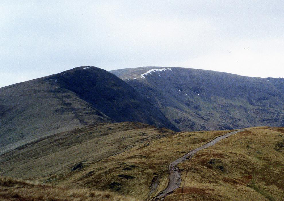
Rising as a significant grassy shoulder on the Fairfield Horseshoe, this Wainwright offers a softer perspective of the Eastern Fells than its craggier neighbours. Situated between Heron Pike and Fairfield, its broad plateau provides a superb vantage point over the Grasmere valley and the winding ascent to Easedale Tarn.
Key Statistics
Rank
95th Highest in Region
Parent Range
Eastern Fells
Prominence
?
31m
Nearest Town
Grasmere
Geology
You are walking on a foundation of ancient volcanic ash and hardened mud. These layers were formed by explosive eruptions and settling sediments long ago.
Find It
OS Grid Reference
NY355104
Latitude
54.4849°N
Longitude
2.9957°W
Did You Know?
- •The name is derived from the Old Norse 'hryggr', meaning a ridge or back; the prefix 'Great' distinguishes it from the smaller Little Rigg located further down the slopes towards Alcock Tarn.
- •Alfred Wainwright regarded the summit as a premier location for watching the sunset, noting that the view looking west towards the Langdale Pikes and the Scafells is one of the finest in the district.
- •While most walkers visit the summit as part of the popular ten-mile Fairfield Horseshoe from Ambleside, a more direct and quieter ascent can be made from Grasmere via the sharp ridge of Stone Arthur.
- •The summit offers a perfectly aligned view south down the full length of Windermere, appearing as a long silver ribbon cutting through the lower fells of the South Lakes.
- •Despite its height of over 760 metres, many hikers on the horseshoe route barely register the summit, treating it primarily as a final tactical breathing space before the stony grind up to Fairfield.