Wales
Drybedd
566M
1857FT
About Drybedd
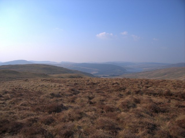
Located in the rolling heart of the Pumlumon range, this 566m Tump provides a remote moorland experience far from the main paths. The terrain is wild and often saturated, rewarding those who brave the peat hags with views across to Pumlumon Fawr and the vast Nant-y-moch reservoir.
Key Statistics
Rank
306th Highest in Wales
Parent Range
Central Wales
Prominence
?
64m
Nearest Town
Lynton
Geology
Silurian Grits and Shales
Find It
OS Grid Reference
SN772833
Latitude
52.4338°N
Longitude
3.8077°W
Did You Know?
- •The name is likely a variation of the Welsh 'trybedd', meaning a tripod or trivet, a term often used in Welsh topography to describe a collection of three hills or a three-legged formation of stones.
- •The summit sits on the vast, spongy plateau that forms the vital watershed for the River Wye, which rises on the slopes of the neighbouring Pumlumon massif.
- •In this part of the Cambrian Mountains, any name containing the word 'dry' should be treated with deep suspicion; the approach involves some of the most persistent peat hags in Central Wales.