Scotland
Corserine
814M
2671FT
About Corserine
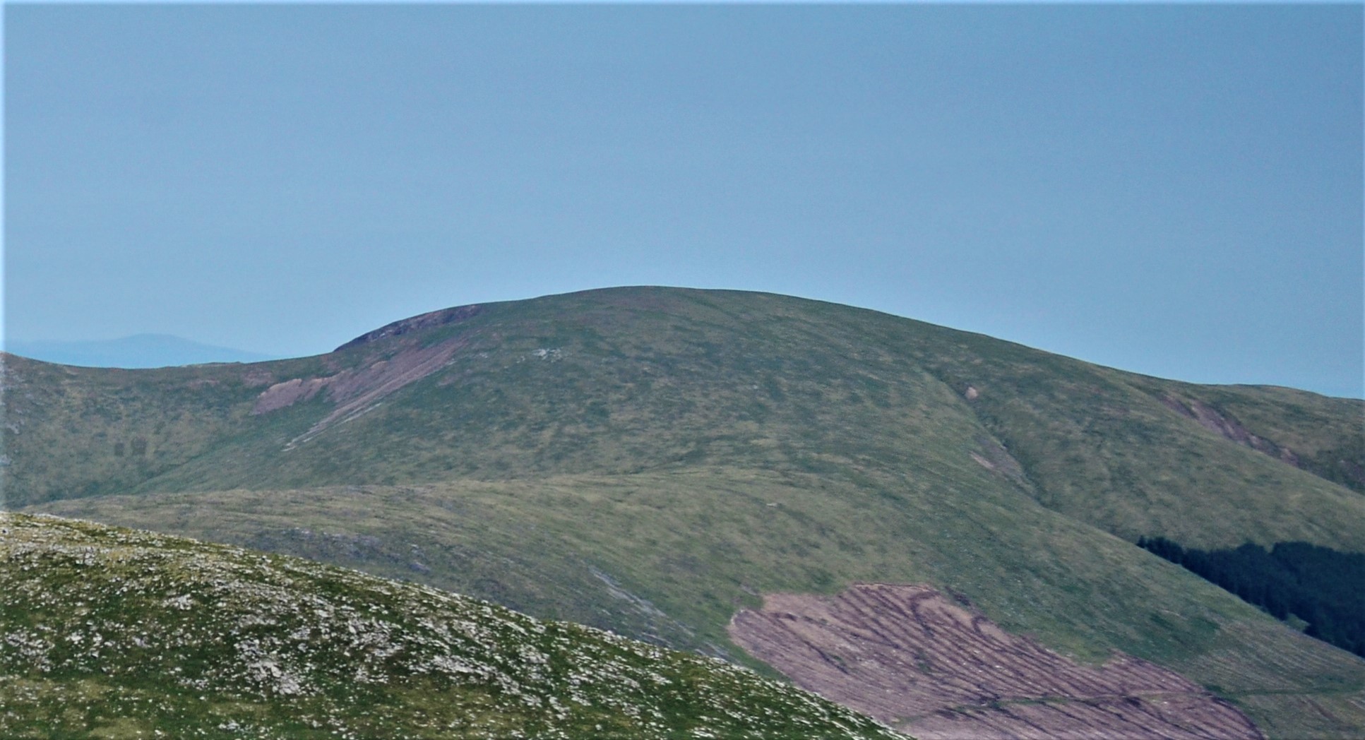
Rising as the highest point of the Rhinns of Kells, Corserine is a broad, grassy Corbett offering a more expansive, gentler character than the rugged granite of the nearby Merrick. The ascent from Forrest Lodge via the Gairy Top provides a steady climb with grand views over the Silver Flowe peat bogs.
Key Statistics
Rank
2nd Highest in Region
Parent Range
Southern Uplands
Prominence
?
488m
Nearest Town
Data coming soon
Geology
The ground here belongs to the Portpatrick Formation, composed of an ancient, muddy sandstone called wacke.
Nearby Fells
Find It
OS Grid Reference
NX497870
Latitude
55.1551°N
Longitude
4.3591°W
Did You Know?
- •The name is likely derived from the Gaelic 'Coire Srianach', meaning 'corrie of the bridles' or 'creased corrie', referring to the deeply furrowed eastern face of the mountain known as the Gairies.
- •As the high point of its ridge, the summit provides a clear perspective across the Galloway Forest Park, looking directly west toward the crags of the Merrick and north toward the dark waters of Loch Doon.
- •The hill is frequently climbed as part of a classic Southern Uplands ridge walk spanning the Rhinns of Kells, connecting Corserine with its neighbours, Meikle Millyea and Millfire, across surprisingly firm high-level turf.
- •The usual approach from the east passes Forrest Lodge, a former hunting lodge for the Earls of Galloway that now serves as a primary gateway into the remote heart of the Kells range.
- •The summit plateau is so remarkably broad and flat that, in thick mist, the transition from 'climbing the hill' to 'wandering a field' is almost imperceptible until you stumble upon the trig pillar.