Lake District
Caw Fell
697M
2287FT
About Caw Fell
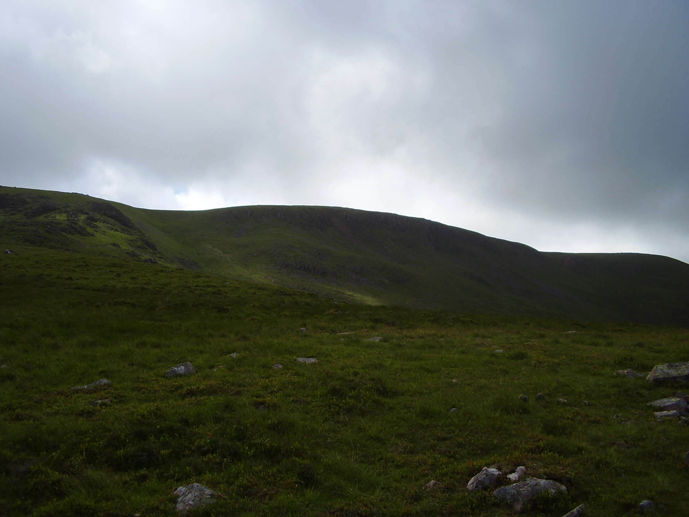
Situated in the remote Western Fells, this broad, grassy plateau offers a sense of isolation rarely found in the central Lakes. It serves as a lonely link between Haycock and the Iron Crag ridge. Reaching its summit requires a long approach, rewarding walkers with vast, uncluttered views across the Ennerdale valley.
Key Statistics
Rank
162nd Highest in Region
Parent Range
Western Fells
Prominence
?
22m
Nearest Town
Ennerdale and Kinniside
Geology
You are walking on a rugged foundation of volcanic rock and cooled granite. These hard stones form the solid backbone of Caw Fell beneath your boots.
Find It
OS Grid Reference
NY132109
Latitude
54.4869°N
Longitude
3.3413°W
Did You Know?
- •The name is likely derived from the Old Norse 'kalfr', meaning a calf. In Cumbrian hill-naming, this usually signifies a smaller fell standing alongside a larger one, which in this case refers to its proximity to the higher summit of Haycock.
- •Alfred Wainwright highlighted the hill's isolation, noting it is 'distant from any point of access by Lakeland standards' and remains one of the most solitary summits in his Pictorial Guides.
- •A substantial stone wall, often called the Ennerdale Fence, runs directly across the summit plateau. It serves as an essential navigational aid for walkers traversing the broad, featureless ridge in the frequent low cloud common to this area.
- •The summit offers an exceptional perspective of the southern face of Pillar and the jagged profile of Steeple across the Ennerdale valley, providing a sharp contrast to Caw Fell’s own gentle, rolling gradients.
- •Due to its significant distance from the nearest road, the summit remains a reliable refuge for those who find sharing a fell with more than two other people to be an unacceptable crowd.