Scotland
Carn na Caim
941M
3087FT
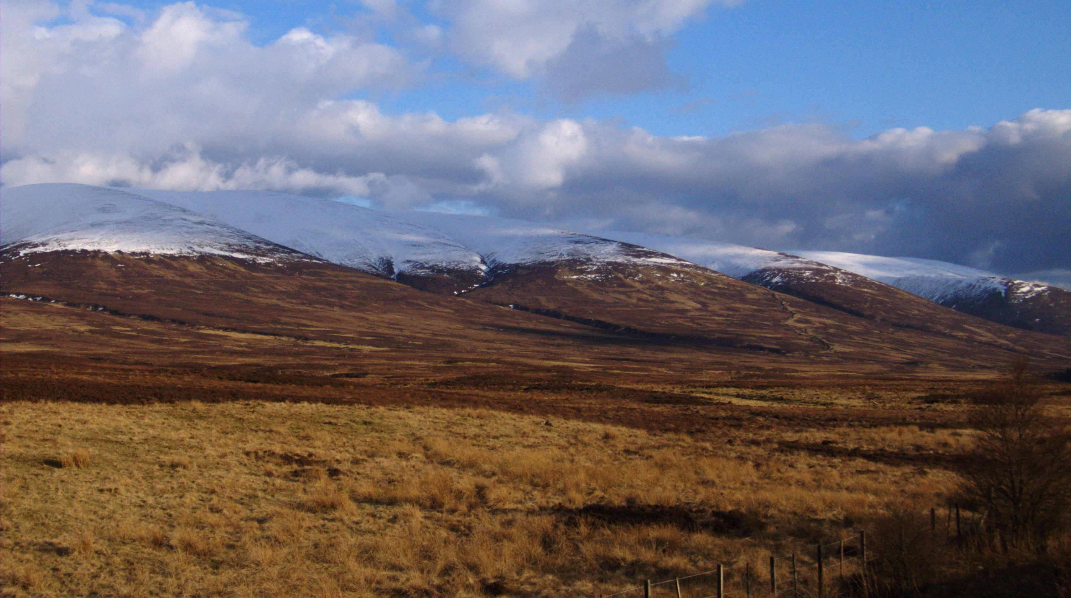
About Carn na Caim
Often paired with its neighbor A' Bhuidheanach Bheag, this high Munro plateau rises steeply from the Drumochter Pass near Newtonmore. While the ascent from the A9 is efficient, the summit terrain is defined by sprawling peat hags and broad, mossy ridges, offering a stark, expansive sense of scale rather than dramatic rocky peaks.
Key Statistics
Rank
7th Highest in Region
Parent Range
Lochaber
Prominence
?
328.1m
Nearest Town
Newtonmore
Geology
This fell is composed of hard, sandy metamorphic rock and crystalline blocks formed from ancient magma that cooled deep beneath the surface.
Find It
OS Grid Reference
NN677821
Latitude
56.9113°N
Longitude
4.1745°W
Did You Know?
- •The name Carn na Caim translates from Gaelic as the 'Cairn of the Curve,' likely referring to the sweeping, indented eastern edge of the plateau that drops away into the Coire Cam.
- •Navigation on this hill relies heavily on a line of old, weather-beaten fence posts that traverse the plateau; in the thick mist common to Drumochter, these posts are often the only reliable way to find the summit.
- •The summit offers a clear, broad perspective across the A9 corridor toward the Ben Alder forest, with the distinctive long ridge of Beinn Bheoil and the deep trough of Loch Ericht clearly visible to the west.
- •The hill's plateau is a significant site for high-altitude peat formation, though this makes for notoriously heavy going underfoot during a typical Scottish summer.
- •This is a hill for the dedicated peak-bagger rather than the rock climber; on a damp day, you will likely spend more time studying the complex architecture of peat hags than the horizon.