Lake District
Buckbarrow
423M
1388FT
About Buckbarrow
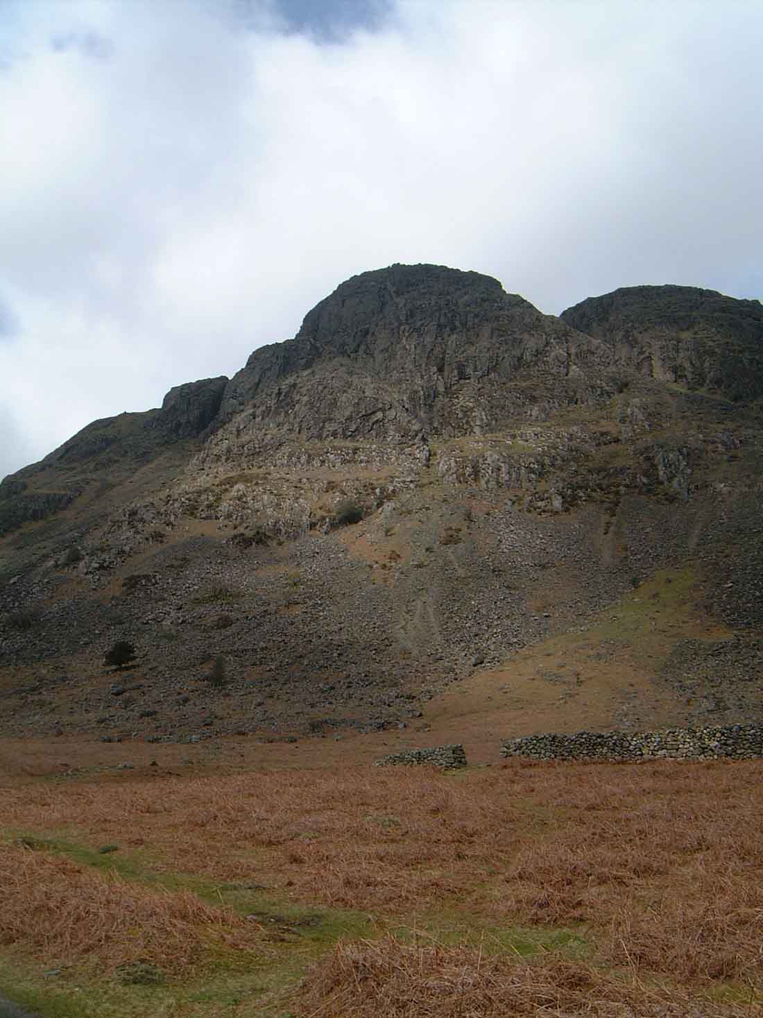
Rising as a series of formidable crags above the road to Wasdale Head, this Wainwright fell offers a dramatic introduction to the Western Fells. Though modest in height, its rugged face overlooks Wastwater, providing an exceptional vantage point for the famous Screes and the high giants guarding the valley head.
Key Statistics
Rank
553rd Highest in Region
Parent Range
Western Fells
Prominence
?
4m
Nearest Town
Nether Wasdale
Geology
Buckbarrow is built from ancient volcanic lava and fine-grained granite that cooled deep underground before rising to the surface.
Classifications
Find It
OS Grid Reference
NY135061
Latitude
54.4432°N
Longitude
3.3343°W
Did You Know?
- •The name is likely derived from the Old English 'bucca', meaning a male deer or goat, and 'beorg', meaning a hill or mound, suggesting the craggy ledges were once a noted haunt for wild goats or deer.
- •Alfred Wainwright described the fell as a 'stately pile of rocks', noting that while it is technically a buttress of the higher Seatallan, its position provides a far superior perspective of the valley floor.
- •The summit outcrops offer a perfectly framed view across the deepest part of Wastwater to the Great Screes, with the Scafell massif and Great Gable appearing as a jagged skyline to the northeast.
- •The fell's southern face is defined by the 'Broad Trod', a steep, traditional route that weaves through the complex crags of Long Lad, offering a direct but much rougher alternative to the grassy paths from Greendale.
- •Buckbarrow possesses a classic Lake District 'false front', appearing as an impenetrable fortress of rock from the valley road while being little more than a gentle grassy slope when approached from the north.