Lake District
Brock Crags (Wainwright)
561M
1841FT
About Brock Crags (Wainwright)
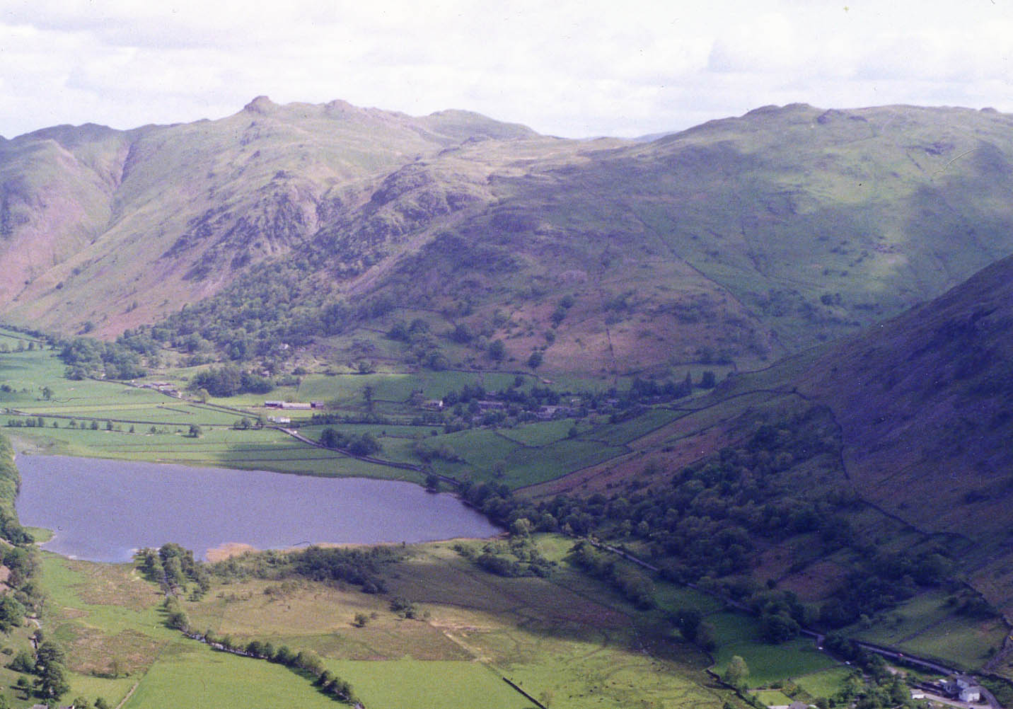
Rising steeply above the village of Hartsop, this rugged Wainwright offers a rocky character that belies its modest height. While frequently visited alongside the nearby Angle Tarn, the summit provides an exceptional close-up perspective of the Helvellyn range and the deep, glacial trough of the Patterdale valley.
Key Statistics
Rank
310th Highest in Region
Parent Range
Far Eastern Fells
Prominence
?
15m
Nearest Town
Patterdale
Geology
This fell is built from the Brock Crags Andesite Formation, a rugged layer of ancient volcanic lava that shaped the craggy landscape beneath your feet.
Classifications
Find It
OS Grid Reference
NY416136
Latitude
54.5149°N
Longitude
2.9026°W
Did You Know?
- •The name is derived from the Old English 'brocc', meaning badger, indicating that these craggy slopes were historically a known habitat for the animals.
- •Alfred Wainwright was a significant admirer of the immediate area, famously describing the neighbouring Angle Tarn as 'the best of all Lakeland tarns' and noting that Brock Crags provides the finest vantage point to appreciate its indented shoreline.
- •The ascent from Hartsop via the Filter Station is a classic, steep pull that leads walkers toward the High Street range, with the summit itself standing on the ridge that forms the western boundary of Martindale.
- •From the top, the view north offers a clear sightline down the length of Ullswater, framed by the steep flanks of Place Fell and the distant, rounded tops of the Mell Fells.
- •It is a hill of such convenience that many walkers 'bag' it almost by accident while heading toward the higher fells, often treating the summit as little more than a scenic waiting room for the main event at Angle Tarn.