Lake District
Brandreth
715M
2345FT
About Brandreth
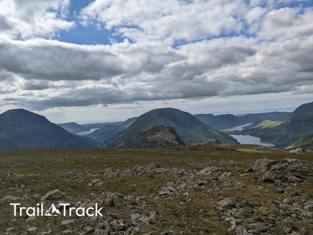
Brandreth is a stony, high-altitude plateau that acts as a vital link between Honister Pass and Great Gable. While its summit is relatively flat and understated, it offers some of the best unobstructed views down the length of Ennerdale towards the Irish Sea.
Key Statistics
Rank
144th Highest in Region
Parent Range
Western Fells
Prominence
?
60m
Nearest Town
Ennerdale and Kinniside
Geology
You’re walking on layers of ancient volcanic rocks: hardened andesite lava flows and ash deposits from eruptions that created the hill’s solid foundation.
Find It
Latitude
54.4965°N
Longitude
3.2143°W
Did You Know?
- •The name is derived from the Old Norse word brandreið, meaning a tripod or grate for a fire, likely referring to the way three distinct ridges converge on the summit.
- •The western slopes are traversed by Moses' Trod, a historic path named after Moses Rigg, a local quarryman who supposedly used the route to smuggle illicit spirits between Honister and Wasdale.
- •Brandreth serves as a significant triple watershed; drainage from its slopes flows north into Buttermere, east towards Borrowdale, and west into the wild valley of Ennerdale.
- •A line of rusted iron fence posts runs across the summit area, remnants of an old boundary that formerly divided the massive landholdings of the Earl of Lonsdale and Lord Leconfield.
- •The summit is so remarkably flat and featureless that in heavy mist, you’re less likely to find the actual cairn and more likely to find yourself having an accidental, one-sided conversation with a startled Herdwick sheep.