Scotland
Black Meldon
407M
1335FT
About Black Meldon
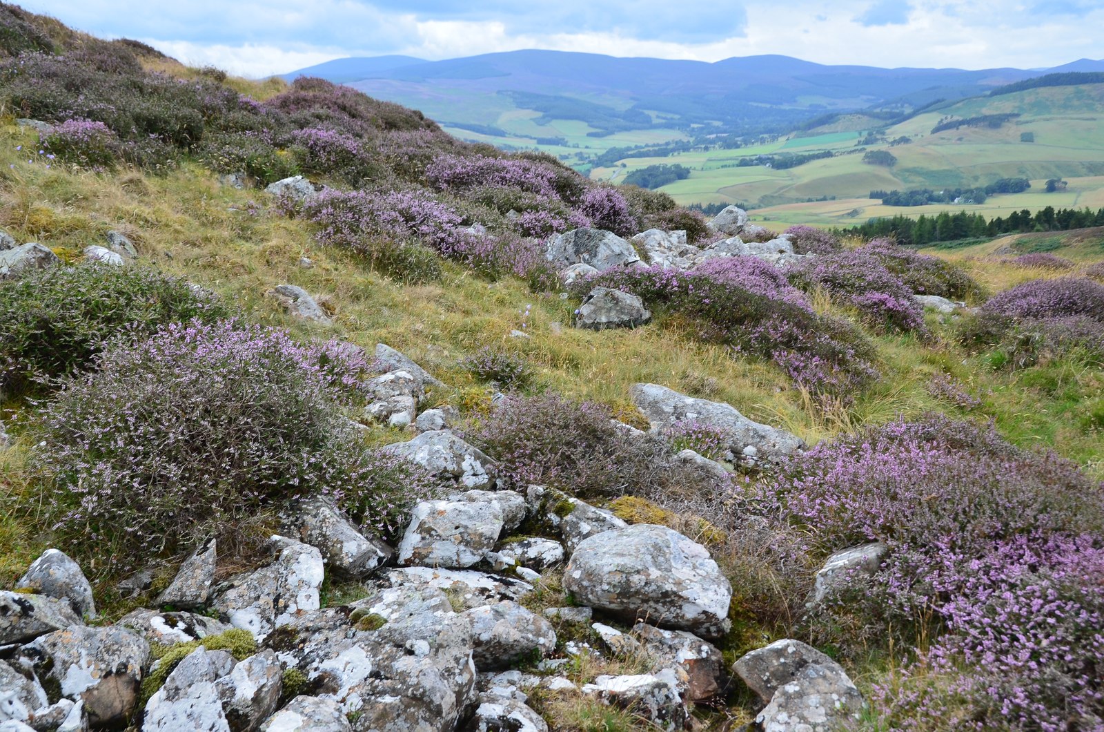
Rising above the Tweed Valley near Peebles, this heather-clad Hump is distinguished by the defensive ramparts of a prehistoric hillfort encircling its summit. It sits across the Meldon Burn from its higher neighbour, White Meldon, offering a manageable yet steep climb with commanding views over the rolling Southern Uplands.
Key Statistics
Rank
581st Highest in Region
Parent Range
Southern Uplands
Prominence
?
107m
Nearest Town
Peebles
Geology
Black Meldon is built from the Portpatrick Formation, a rugged layer of muddy sandstone that forms the ground beneath your boots.
Find It
OS Grid Reference
NT206425
Latitude
55.6696°N
Longitude
3.2637°W
Did You Know?
- •The name Meldon likely derives from the Cumbric 'moel', meaning a bare hill, and 'dun' for a fort, reflecting its ancient defensive purpose. The 'Black' prefix refers to the dark, heather-clad slopes, which contrast sharply with the paler, grass-covered flanks of nearby White Meldon.
- •The summit is a Scheduled Monument, featuring the remains of an Iron Age hillfort with two distinct lines of stone ramparts that once protected the sites of several timber-framed houses.
- •From the 407m summit, you can look directly across the valley to the larger White Meldon, or scan the horizon for the Pentland Hills to the north and the three distinct peaks of the Eildon Hills to the east.
- •Most walkers combine this summit with its neighbour by starting from the Meldon Burn, though Black Meldon is significantly steeper and rougher underfoot than its more popular 'White' counterpart.
- •Despite being nearly 100 metres shorter than White Meldon, the steeper gradient on this side of the burn ensures your calf muscles will likely disagree with the official map rankings.