Lake District
Black Fell
323M
1059FT
About Black Fell
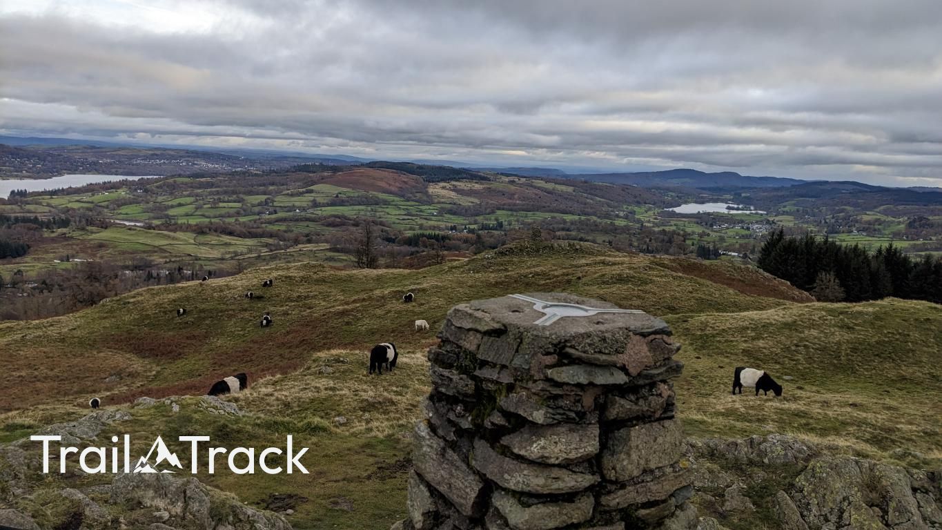
Black Fell, often referred to by its summit name Black Crag, is a modest but highly rewarding viewpoint situated between Coniston and Ambleside. It’s an accessible hike from Tarn Hows or Skelwith Bridge, offering exceptional panoramas of Windermere and the Langdale Pikes for relatively little effort.
Key Statistics
Rank
732nd Highest in Region
Parent Range
Southern Fells
Prominence
?
126m
Nearest Town
Skelwith Bridge
Geology
Black Fell is built from solidified volcanic ash rock (dacitic lapilli‑tuff) of the Lincomb Tarns Tuff Formation, a hard, fine‑grained material.
Classifications
Find It
Latitude
54.4055°N
Longitude
3.0180°W
Did You Know?
- •The summit is officially marked as Black Crag, while the broader moorland area is known as Black Fell; it represents the southern tip of the Borrowdale Volcanic Group’s outcrop.
- •Much of the fell is managed by the National Trust as part of the Monk Coniston estate, which was purchased and preserved by the author Beatrix Potter in 1930.
- •The name likely originates from the Old Norse word 'fjall,' with the 'Black' prefix referring to the dark appearance of its dense heather and gorse-covered slopes.
- •The fell is bordered by Iron Keld, a historic gateway used by travellers and packhorses moving between the Langdale and Coniston valleys before modern road networks were established.
- •Despite its low elevation, the fell is a labyrinth of false trails and bracken; it is the kind of place where you can be within sight of a pub in Skelwith Bridge and still manage to get turned around three times.