Lake District
Birks
624M
2047FT
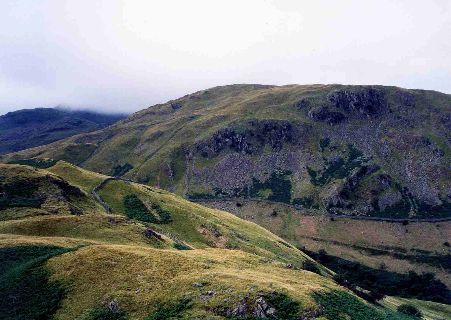
About Birks
Birks is often treated as a mere stepping stone on the climb to St Sunday Crag from Patterdale. However, the grassy summit provides an excellent platform for viewing the length of Ullswater, offering a much more intimate perspective of the valley than the higher peaks.
Key Statistics
Rank
242nd Highest in Region
Parent Range
Eastern Fells
Prominence
?
20.3m
Nearest Town
Glenridding
Geology
Birks rests on layers of volcanic ash and rock, including sandstone made from volcanic debris, a hard andesite sill, and a lapilli‑tuff (consolidated volcanic ash).
Find It
OS Grid Reference
NY380143
Latitude
54.5207°N
Longitude
2.9591°W
Did You Know?
- •The name 'Birks' is a dialect variation of 'birch,' originating from the Old Norse word birki, indicating that these slopes were once heavily forested with birch trees.
- •Geologically, the fell is composed of rocks from the Borrowdale Volcanic Group, specifically the Deepdale Formation, which consists of volcaniclastic sandstone and tuff.
- •Birks is officially classified as a Wainwright, a Hewitt, and a Birkett, standing at exactly 624 metres on the long northeast ridge of St Sunday Crag.
- •The fell overlooks Glenamara Park to the north, a historic medieval deer park that still contains several ancient 'veteran' trees and traces of early enclosure walls.
- •Many hikers descending the ridge from St Sunday Crag mistake the summit of Birks for the final drop into Patterdale, only to find there is still a significant, knee-crunching descent left to go.